Show the map
Puy de Chaumont - Puy des Gouttes - Puy des Goules


20.08 km
608 m
608 m
 Parking du col des Goules à Orcines (63)
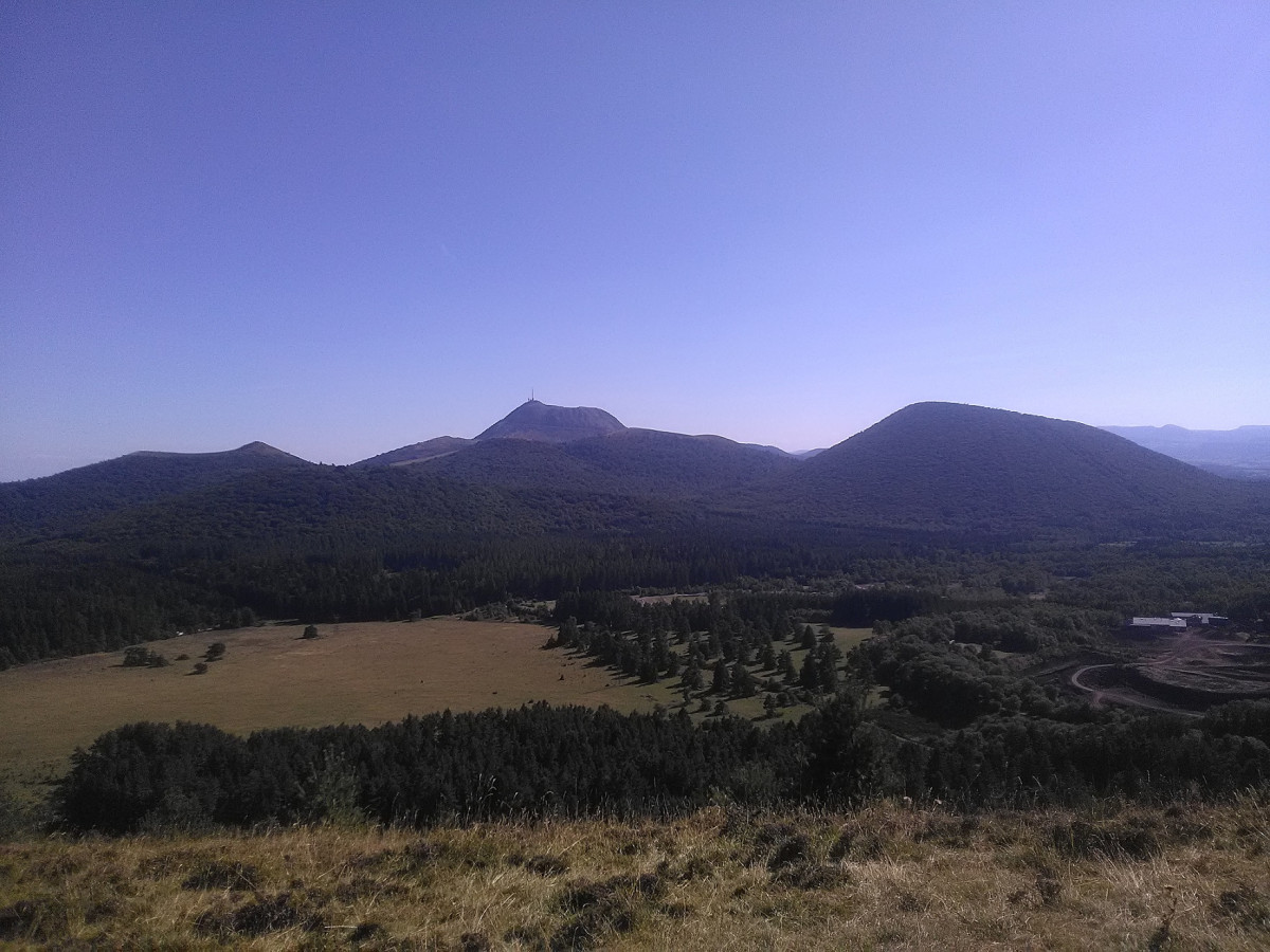
Course that leads us through the different Puys to the neck of the Goules. Departure from the car park, with many places, towards Puy Chaumont with its ascent, then climb to Puy des Gouttes. Once at the summit, superb 360 ° panorama with a view of the various Puys of the chain. The descent is quite steep and will require a minimum of technique. Passage in the forest on small paths. Nature may have partially taken possession of the places in some places, but the passage remains possible. We then climb to Puy des Goules, the highest point of the exit. The also enjoy the scenery once at the top. After the descent of Puy des Goules, small hook by the cave of Puy Sarcouy. Then go down to the parking lot.
Points of Interest table
| Accum. | Intermediary | |||||||
|---|---|---|---|---|---|---|---|---|
| POI | Description | Alt. | Dist. | D+ | D- | Dist. | D+ | D- |
Trace n°67183
Ascent threshold : 3 m Distance threshold : 30 m Smoothing : Yes Origin of altitudes : MNT Google
Ascent threshold : 3 m Distance threshold : 30 m Smoothing : Yes Origin of altitudes : MNT Google
Loop
Dominant terrain : Footpath
Max alti. : 1143 m
Avg alti. : 999 m
Min alti. : 879 m
Longest ascent : 210 m
Longest descent : 180 m
Route completed by the author : Yes
Dominant terrain : Footpath
Max alti. : 1143 m
Avg alti. : 999 m
Min alti. : 879 m
Longest ascent : 210 m
Longest descent : 180 m
Route completed by the author : Yes
Elevation profile
More tools
Create a new roadbook page
Map and track on your website
Warning ! When you insert a Trace de Trail map on your website, you agree not to hide any element of the module (links to Trail Trail or Trail Connect banner)
Add a realisation
Validate
Add a realisation to share your chrono and describe the conditions that you encountered during you trail running !
Add a comment
Validate
Show the infos
Add a track


