
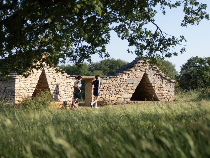
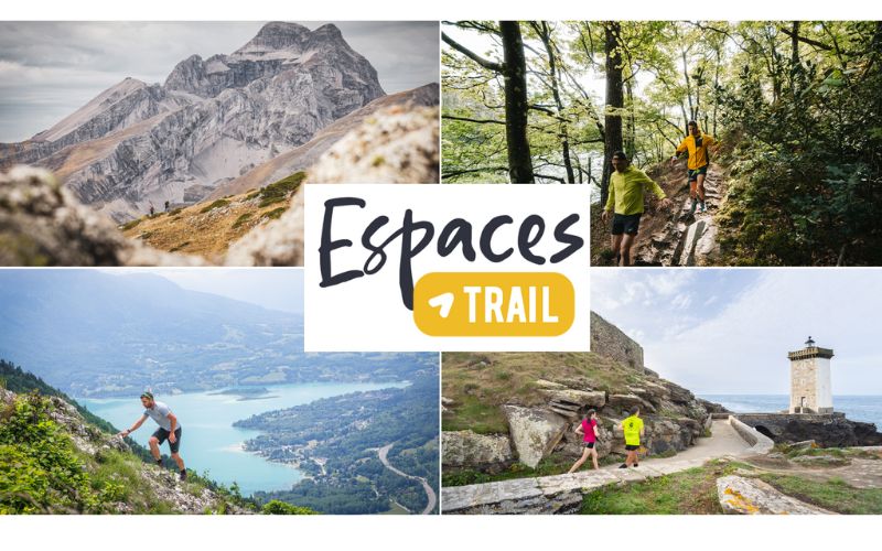
Opening of the Grand-Figeac Espace Trail
To be amazed every step of the way—that's the promise of the 20 routes in the new Grand-Figeac Trail Area, recently inaugurated in the Lot region.
To know more
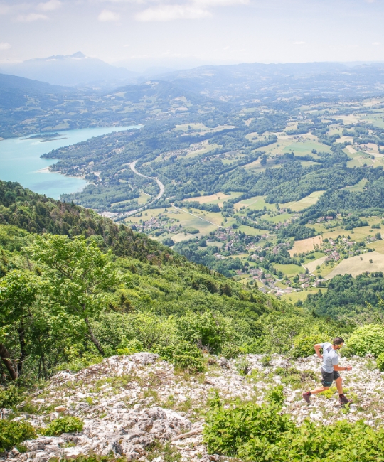
Trail de l'Étendard
A legendary race between Isère and Savoie, set in sumptuous scenery!
To know more
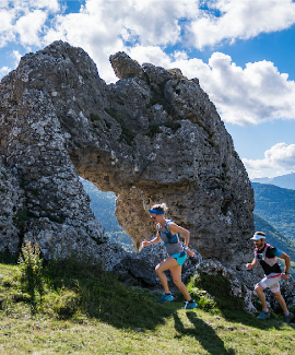
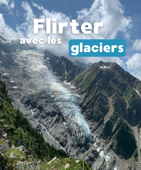
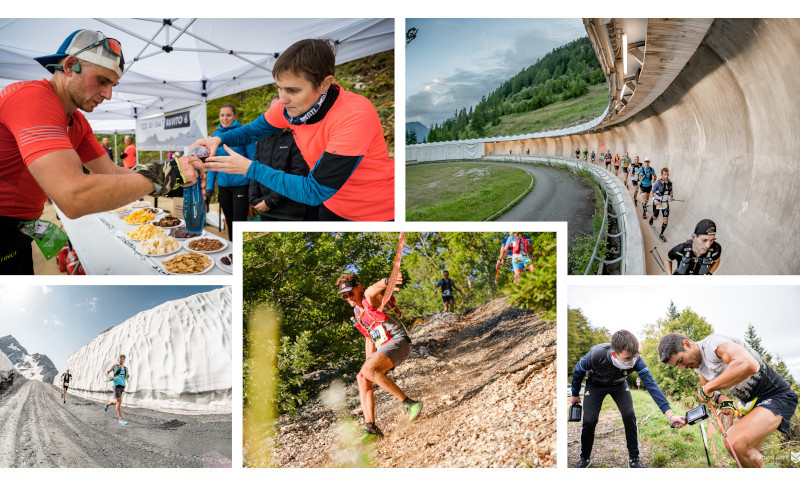
6000D - Legendary race
This weekend, discover or rediscover the 6000D, a legendary race in the heart of the Tarentaise!
To know more
#ForezEstTrailRunningChallenge – Until September
Challenge yourself on the Forez-Est Trail Area STRAVA segments until September 30 and try to win one of the many prizes up for grabs!
To know more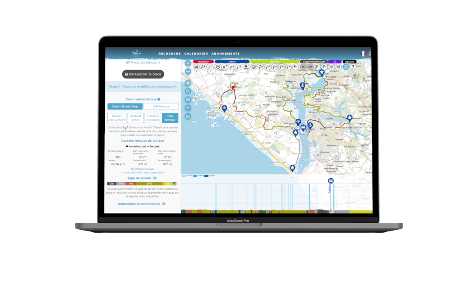
Thanks to Trace de Trail's route editor, you can plot and share all your trail-running routes quickly and precisely !
Take advantage of the automatic route planning mode on IGN or OSM paths to map your routes with just a few clicks, and find out the percentages of roads, paths and tracks using the automatic terrain editor. Unkown way : don't worry, you can edit and modify the waytypes !

Looking for your next trail running outing?
Discover the training routes specially selected by Trace de Trail, the official competition routes, and the tracks shared by the community.


Looking for the perfect gift for a trail running enthusiast?
We have the solution! Give a 1, 2, or 3-year Premium subscription to the person of your choice, usable on Trace de Trail and Trail Connect! A gift sure to delight all trail running and outdoor sports enthusiasts!


You'll find a selection of routes classified by level of difficulty, events to discover in the region, ideas for holidays...
Discover our specific tools and tailor-made offers to help you prepare your routes, share them and publicise your events!
As an organiser, you can take advantage of specific features to create quality tracks for both the public and the logistics:
- Advanced editing tools and personalised profiles
- Volunteer POIs
- Map creation
- Integration on your website...

 Trace de Trail