Show the map
Evaluated Track - ITRA
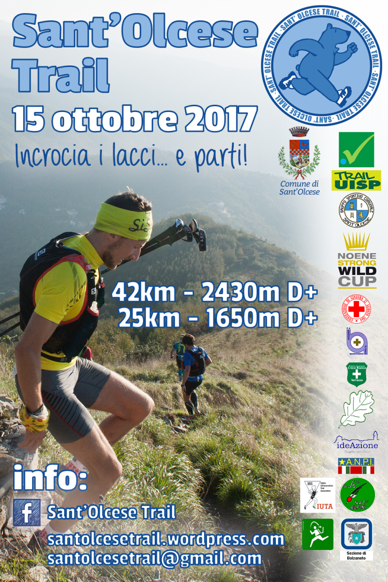
Sant'Olcese Trail 2017


 Manesseno (IT)
 Manesseno (IT)


This idea stems from the need to bring in the municipality of Sant'Olcese and Val Polcevera an event that can unite sporting purposes, environmental and tourism promotion and territory.
This initiative is, and will be able to join many associations of the territory, promoting the great local volunteer spirit, Pro Loco Sant'Olcese in the head, the heart of our territory.
Points of Interest table
| Accum. | Intermediary | |||||||
|---|---|---|---|---|---|---|---|---|
| POI | Description | Alt. | Dist. | D+ | D- | Dist. | D+ | D- |
 Competition organized on 10/15/2017
Trace n°32144
Ascent threshold : 3 m Distance threshold : 30 m Smoothing : Yes Origin of altitudes : MNT Aster GDEM
Ascent threshold : 3 m Distance threshold : 30 m Smoothing : Yes Origin of altitudes : MNT Aster GDEM
Loop
Dominant terrain : Path
Max alti. : 932 m
Avg alti. : 487 m
Min alti. : 65 m
Longest ascent : 570 m
Longest descent : 500 m
Dominant terrain : Path
Max alti. : 932 m
Avg alti. : 487 m
Min alti. : 65 m
Longest ascent : 570 m
Longest descent : 500 m
Elevation profile
More tools
Create a new roadbook page
Map and track on your website
Warning ! When you insert a Trace de Trail map on your website, you agree not to hide any element of the module (links to Trail Trail or Trail Connect banner)
Add a realisation
Validate
Add a realisation to share your chrono and describe the conditions that you encountered during you trail running !
Add a comment
Validate
Show the infos
Add a track


