Show the map
Certified Track - ITRA
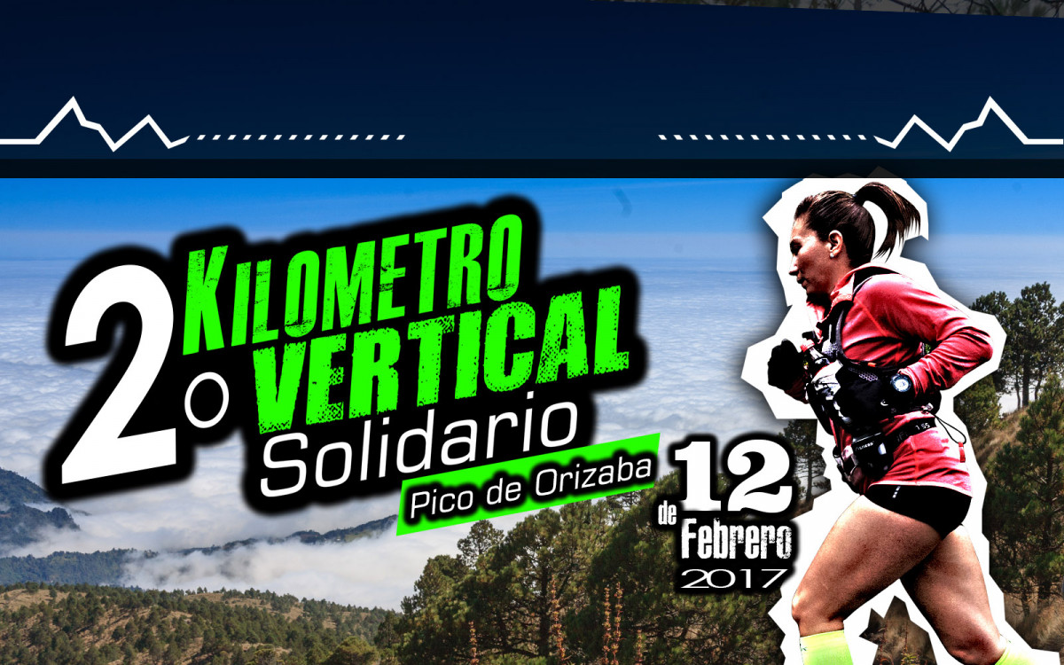
Kilometro Vertical Pico de Orizaba 2017 - 5 km


 La Ciénega (MX)
 La Ciénega (MX)


Course goes from Villas Pico de Orizaba at 3,353 msnm to La Torrecilla Roja at 4,274 msnm, where the run finish. All the course will have signals. Back to start place will be walked by runner by side way by himself . Positive gain is 949 m (D+ 949m ) and the course 5.1 Km.
Points of Interest table
| Accum. | Intermediary | |||||||
|---|---|---|---|---|---|---|---|---|
| POI | Description | Alt. | Dist. | D+ | D- | Dist. | D+ | D- |
 Competition organized on 02/12/2017
Trace n°31642
Ascent threshold : 3 m Distance threshold : 0 m Smoothing : No Origin of altitudes : GPS
Ascent threshold : 3 m Distance threshold : 0 m Smoothing : No Origin of altitudes : GPS
Crossing
Dominant terrain : Footpath
Max alti. : 4277 m
Avg alti. : 3691 m
Min alti. : 3352 m
Longest ascent : 880 m
Longest descent : 20 m
Dominant terrain : Footpath
Max alti. : 4277 m
Avg alti. : 3691 m
Min alti. : 3352 m
Longest ascent : 880 m
Longest descent : 20 m
Elevation profile
More tools
Create a new roadbook page
Map and track on your website
Warning ! When you insert a Trace de Trail map on your website, you agree not to hide any element of the module (links to Trail Trail or Trail Connect banner)
Add a realisation
Validate
Add a realisation to share your chrono and describe the conditions that you encountered during you trail running !
Add a comment
Validate
Show the infos
Add a track


