Show the map
OFFICIAL ROUTE
Parcours 5 bleu - Le mur de la Peste


12.2 km
540 m
540 m
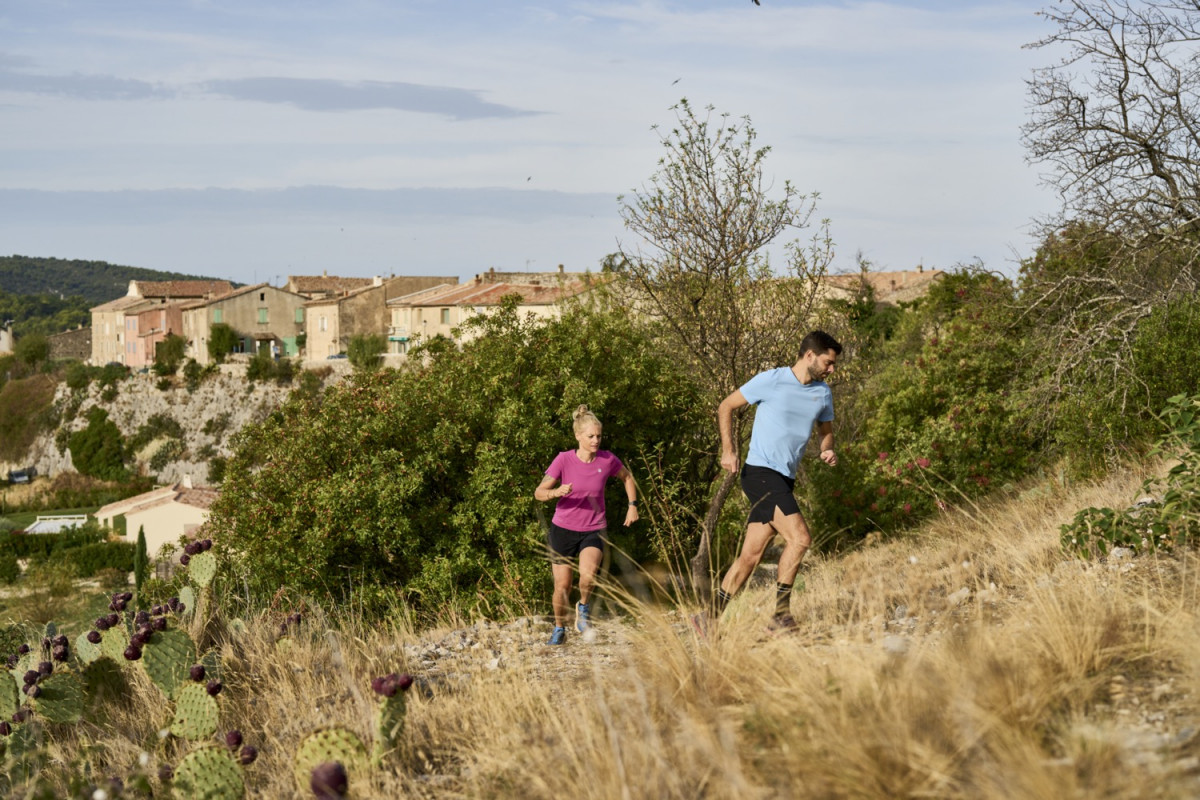
 Méthamis (84)
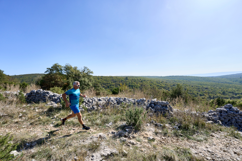
Ce circuit trail grimpe rapidement sur les trois premiers kilomètres, durant l’ascension, prenez le temps de vous retourner pour admirer le panorama : c’est grandiose ! Le vignoble de la plaine de Méthamis s’offre à vous sous l’œil bienveillant du Mont Ventoux.
Une fois arrivé sur la crête, vous longerez l’étonnant Mur de la Peste, édifié contre la propagation de la maladie en 1720 dans la région. Le parcours devient plus roulant en sous-bois : idéal pour accélérer le rythme. Enfin, le circuit bascule sur une descente technique et très caillouteuse avec une vue extraordinaire face à vous.
Points of Interest table
| Accum. | Intermediary | |||||||
|---|---|---|---|---|---|---|---|---|
| POI | Description | Alt. | Dist. | D+ | D- | Dist. | D+ | D- |
Trace n°199828
Ascent threshold : 3 m Distance threshold : 30 m Smoothing : Yes Origin of altitudes : MNT IGN
Ascent threshold : 3 m Distance threshold : 30 m Smoothing : Yes Origin of altitudes : MNT IGN
Loop
Dominant terrain : Path
Max alti. : 768 m
Avg alti. : 533 m
Min alti. : 296 m
Longest ascent : 490 m
Longest descent : 260 m
Route completed by the author : Yes
Dominant terrain : Path
Max alti. : 768 m
Avg alti. : 533 m
Min alti. : 296 m
Longest ascent : 490 m
Longest descent : 260 m
Route completed by the author : Yes
Elevation profile
More tools
Create a new roadbook page
Map and track on your website
Warning ! When you insert a Trace de Trail map on your website, you agree not to hide any element of the module (links to Trail Trail or Trail Connect banner)
Add a realisation
Validate
Add a realisation to share your chrono and describe the conditions that you encountered during you trail running !
Add a comment
Validate
Show the infos
Add a track


