Show the map
OFFICIAL ROUTE
Parcours 12 bleu - Tête de l'Hermine


17 km
720 m
720 m
 Bédoin (84)
Parcours en profil montée-descente.
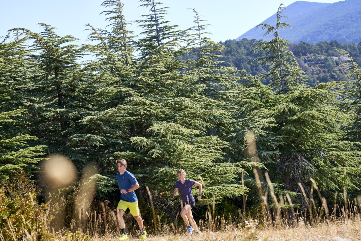
Ombragé en montée.
Descente avec vue sur la plaine du Comtat.
Découverte de la Combe du grand Barbeirol et des carrières d'Ocres de Bedoin.
©Damien Rosso
Points of Interest table
| Accum. | Intermediary | |||||||
|---|---|---|---|---|---|---|---|---|
| POI | Description | Alt. | Dist. | D+ | D- | Dist. | D+ | D- |
Trace n°199823
Ascent threshold : 3 m Distance threshold : 30 m Smoothing : Yes Origin of altitudes : MNT IGN
Ascent threshold : 3 m Distance threshold : 30 m Smoothing : Yes Origin of altitudes : MNT IGN
Loop
Dominant terrain : Path
Max alti. : 838 m
Avg alti. : 519 m
Min alti. : 309 m
Longest ascent : 250 m
Longest descent : 570 m
Route completed by the author : Yes
Dominant terrain : Path
Max alti. : 838 m
Avg alti. : 519 m
Min alti. : 309 m
Longest ascent : 250 m
Longest descent : 570 m
Route completed by the author : Yes
Elevation profile
More tools
Create a new roadbook page
Map and track on your website
Warning ! When you insert a Trace de Trail map on your website, you agree not to hide any element of the module (links to Trail Trail or Trail Connect banner)
Add a realisation
Validate
Add a realisation to share your chrono and describe the conditions that you encountered during you trail running !
Add a comment
Validate
Show the infos
Add a track


