Show the map
OFFICIAL ROUTE
APTR Ultra de Videiras 2016 - 75 km


 Paty do Alferes (BR)


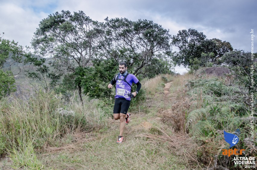


Ultra Vines occurs in the Valley of the Vines, Petropolis neighborhood, RJ.
A suitable place for the practice of mountain racing and MTB.
The event has enough self athlete features, but the organization offers 4 PCs all with complete hydration and nutrition for athletes.
Points of Interest table
| Accum. | Intermediary | |||||||
|---|---|---|---|---|---|---|---|---|
| POI | Description | Alt. | Dist. | D+ | D- | Dist. | D+ | D- |
 Competition organized on 04/30/2016
Trace n°19774
Ascent threshold : 3 m Distance threshold : 30 m Smoothing : Yes Origin of altitudes : MNT Aster GDEM
Ascent threshold : 3 m Distance threshold : 30 m Smoothing : Yes Origin of altitudes : MNT Aster GDEM
Loop
Dominant terrain : Road
Max alti. : 1704 m
Avg alti. : 981 m
Min alti. : 748 m
Longest ascent : 970 m
Longest descent : 760 m
Dominant terrain : Road
Max alti. : 1704 m
Avg alti. : 981 m
Min alti. : 748 m
Longest ascent : 970 m
Longest descent : 760 m
Elevation profile
More tools
Create a new roadbook page
Map and track on your website
Warning ! When you insert a Trace de Trail map on your website, you agree not to hide any element of the module (links to Trail Trail or Trail Connect banner)
Add a realisation
Validate
Add a realisation to share your chrono and describe the conditions that you encountered during you trail running !
Add a comment
Validate
Show the infos
Add a track


