Show the map
OFFICIAL ROUTE
Boucle du Chevran (n°5 Les Carroz)


7.6 km
630 m
630 m
 Arâches La Frasse - La croix verte (74)
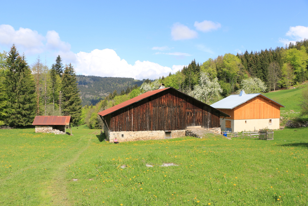
Par les gorges de l'Englenaz, vous descendez à Cluses, puis retour par la Falaise aux Oiseaux. En empruntant un sentier qui traverse les alpages de Chevran, avec ses anciennes fermes. Autre point de vue spectaculaire sur la vallée de l'Arve, la Pointe d'Areu, le Môle, la Pointe d'Andey. Des panneaux et tables de lecture sur la faune, flore, géologie jalonnent celui-ci.
Points of Interest table
| Accum. | Intermediary | |||||||
|---|---|---|---|---|---|---|---|---|
| POI | Description | Alt. | Dist. | D+ | D- | Dist. | D+ | D- |
Trace n°116660
Ascent threshold : 3 m Distance threshold : 30 m Smoothing : Yes Origin of altitudes : MNT IGN
Ascent threshold : 3 m Distance threshold : 30 m Smoothing : Yes Origin of altitudes : MNT IGN
Loop
Dominant terrain : Footpath
Max alti. : 1177 m
Avg alti. : 884 m
Min alti. : 574 m
Longest ascent : 600 m
Longest descent : 320 m
Route completed by the author : Yes
Dominant terrain : Footpath
Max alti. : 1177 m
Avg alti. : 884 m
Min alti. : 574 m
Longest ascent : 600 m
Longest descent : 320 m
Route completed by the author : Yes
Elevation profile
More tools
Create a new roadbook page
Map and track on your website
Warning ! When you insert a Trace de Trail map on your website, you agree not to hide any element of the module (links to Trail Trail or Trail Connect banner)
Add a realisation
Validate
Add a realisation to share your chrono and describe the conditions that you encountered during you trail running !
Add a comment
Validate
Show the infos
Add a track

