Show the map
OFFICIAL ROUTE
Parcours Trail Basso d’Alou


19.1 km
1310 m
1300 m
 Haute-Nendaz (CH)
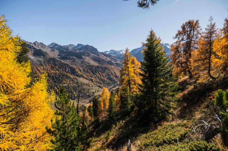
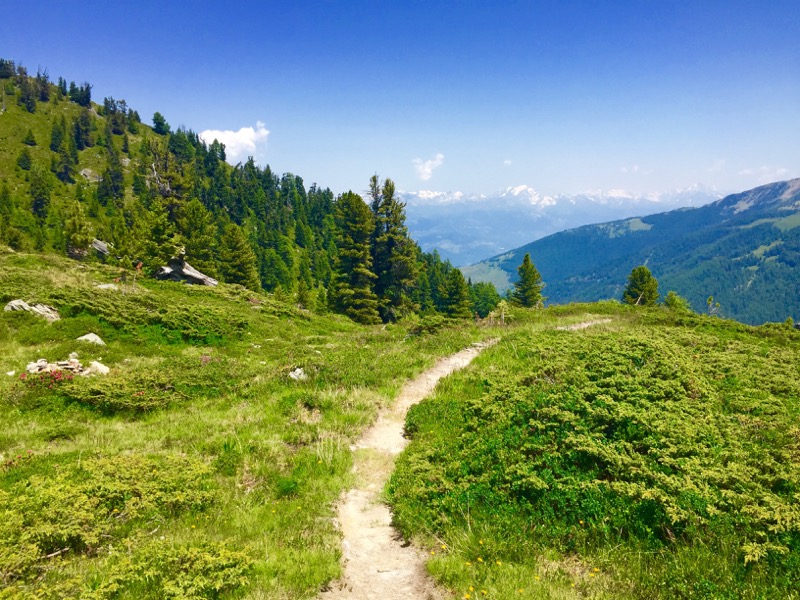
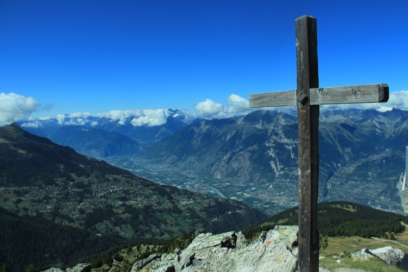
This technical course is ideal for a long outing combining very technical parts and a easier part along the 'Bisse de Saxon'. It is a technical trail including steep and aerial passages. Not appropriate for those subject to vertigo.
Points of Interest table
| Accum. | Intermediary | |||||||
|---|---|---|---|---|---|---|---|---|
| POI | Description | Alt. | Dist. | D+ | D- | Dist. | D+ | D- |
Trace n°99758
Ascent threshold : 3 m Distance threshold : 30 m Smoothing : Yes Origin of altitudes : MNT Google
Ascent threshold : 3 m Distance threshold : 30 m Smoothing : Yes Origin of altitudes : MNT Google
Loop
Dominant terrain : Footpath
Max alti. : 2460 m
Avg alti. : 1893 m
Min alti. : 1342 m
Longest ascent : 1150 m
Longest descent : 870 m
Route completed by the author : No
Dominant terrain : Footpath
Max alti. : 2460 m
Avg alti. : 1893 m
Min alti. : 1342 m
Longest ascent : 1150 m
Longest descent : 870 m
Route completed by the author : No
Elevation profile
More tools
Create a new roadbook page
Map and track on your website
Warning ! When you insert a Trace de Trail map on your website, you agree not to hide any element of the module (links to Trail Trail or Trail Connect banner)
Add a realisation
Validate
Add a realisation to share your chrono and describe the conditions that you encountered during you trail running !
Add a comment
Validate
Show the infos
Le parcours est fermé jusqu'à la fin de l'hiver.
Add a track


