Show the map
OFFICIAL ROUTE
Parcours Trail Veysonnaz - Forêt Noire – Mayens


17.4 km
1140 m
1140 m
 Veysonnaz (CH)
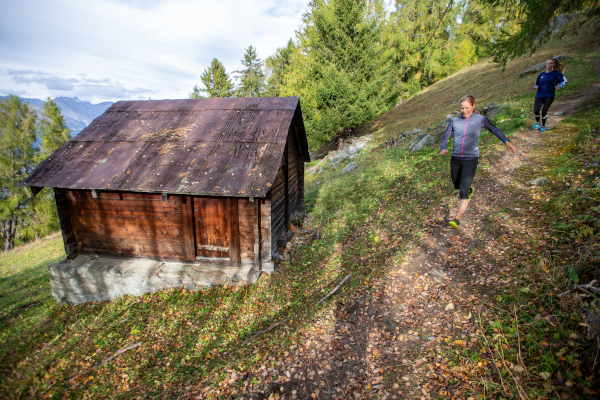
This is a varied trail that takes you from Veysonnaz to a place called 'La Comberette' which is located at about 2000m in altitude. This trail requires about 3h30. It's starting point is at 1360 metres in altitude in front of the 'Magrappé' hotel. This trail alternates ascents and descents and does not present any technical difficulties.
Points of Interest table
| Accum. | Intermediary | |||||||
|---|---|---|---|---|---|---|---|---|
| POI | Description | Alt. | Dist. | D+ | D- | Dist. | D+ | D- |
Trace n°113715
Ascent threshold : 3 m Distance threshold : 30 m Smoothing : Yes Origin of altitudes : MNT Google
Ascent threshold : 3 m Distance threshold : 30 m Smoothing : Yes Origin of altitudes : MNT Google
Loop
Dominant terrain : Footpath
Max alti. : 2082 m
Avg alti. : 1560 m
Min alti. : 1127 m
Longest ascent : 1070 m
Longest descent : 610 m
Route completed by the author : No
Dominant terrain : Footpath
Max alti. : 2082 m
Avg alti. : 1560 m
Min alti. : 1127 m
Longest ascent : 1070 m
Longest descent : 610 m
Route completed by the author : No
Elevation profile
More tools
Create a new roadbook page
Map and track on your website
Warning ! When you insert a Trace de Trail map on your website, you agree not to hide any element of the module (links to Trail Trail or Trail Connect banner)
Add a realisation
Validate
Add a realisation to share your chrono and describe the conditions that you encountered during you trail running !
Add a comment
Validate
Show the infos
Add a track


