Show the map
Certified Track - ITRA
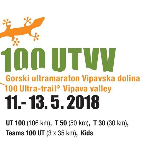
100 Ultra Trail Vipava Valley Slovenia 2018 - Trail 50


 Dobravlje (SI)
 Vipava (SI)


The 50 km Trail Vipava Valley starts in small village Vipavski Križ and crosses panoramic wine-growing southern slopes and villages from Velike Žablje to Erzelj, Go?e to Socerb. The last ascent to the edge of Nanos starts in Podnanos. The trail continues along picturesque and lookout edge to the highest point Pleša at 1262 m. Runners continue through the forest in the heart of Nanos (pass a Tourist Farm Abram) to a beautiful descent to the Valley towards the finish line in Gradiš?e pri Vipavi.
Points of Interest table
| Accum. | Intermediary | |||||||
|---|---|---|---|---|---|---|---|---|
| POI | Description | Alt. | Dist. | D+ | D- | Dist. | D+ | D- |
 Competition organized on 04/28/2018
Trace n°44466
Ascent threshold : 10 m Distance threshold : 0 m Smoothing : No Origin of altitudes : GPS
Ascent threshold : 10 m Distance threshold : 0 m Smoothing : No Origin of altitudes : GPS
Crossing
Dominant terrain : Footpath
Max alti. : 1243 m
Avg alti. : 538 m
Min alti. : 71 m
Longest ascent : 1100 m
Longest descent : 580 m
Dominant terrain : Footpath
Max alti. : 1243 m
Avg alti. : 538 m
Min alti. : 71 m
Longest ascent : 1100 m
Longest descent : 580 m
Elevation profile
More tools
Create a new roadbook page
Map and track on your website
Warning ! When you insert a Trace de Trail map on your website, you agree not to hide any element of the module (links to Trail Trail or Trail Connect banner)
Add a realisation
Validate
Add a realisation to share your chrono and describe the conditions that you encountered during you trail running !
Add a comment
Validate
Show the infos
Add a track


