Afficher la carte
Trace certifiée - ITRA
La Corsa della Bora 2018 - S1 Trail 57 km


 Sant'Antonio In Bosco (IT)
 Sistiana (IT)


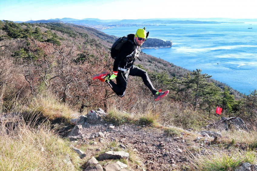

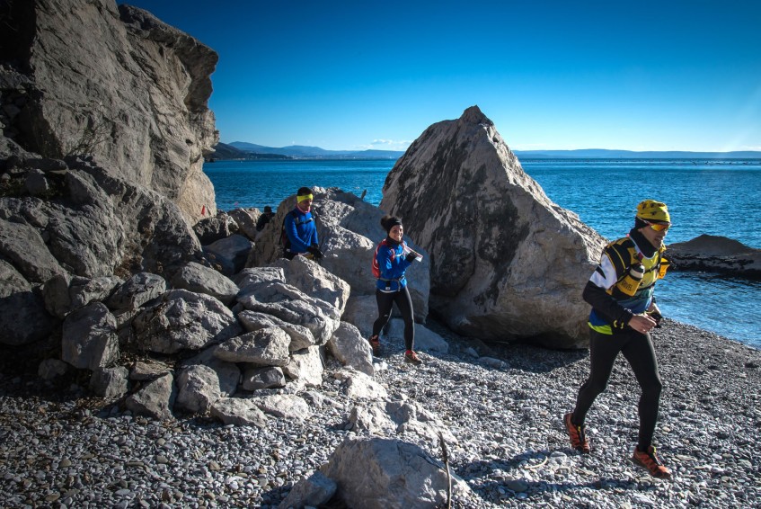
57 km overlooking the Gulf of Trieste with high mountain views less than 400 meters above sea level. Unique landscapes, excellent food and fun on a journey that is the best way to start a great 2018.
Here, don’t expect to find two similar sections. There are extremely fast trails, were you will reach your maximum speed, and paths where is not always possible to run. The section in the Rosandra valley will take you trough a Dolomitic-like scenario, with steep grounds that usually are found in high mountains. Here, you will find those characteristics only at an altitude of 400 meters.
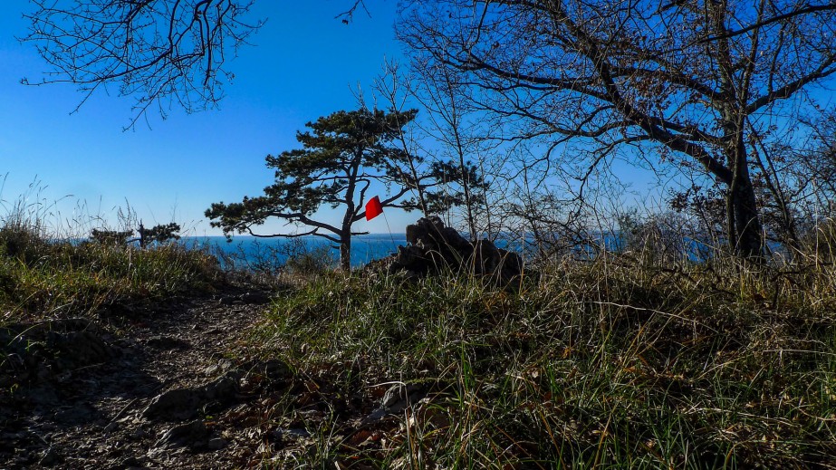
The steep and rocky ground, the red soil, the limestone gravels, will run with you near to small “foibe” (deep cracks in the terrain). The unique geological conformation of this land will offer you a wide variety of panoramas, creating a race that constantly chances its looks. Here, every sight is unique.
Starting a downhill towards Slovenia, crossing the ancient Austrian railway and heading towards the Karst plateau swept by the winds of Bora. Here, it will get a view of the Gulf of Trieste and Koper, before tackling the difficult passages of the Val Rosandra, leading, after a steep climb, a race with “sea view”.
Table des passages
| Cumul | Intermédiaire | |||||||
|---|---|---|---|---|---|---|---|---|
| Passage | Description | Alt. | Dist. | D+ | D- | Dist. | D+ | D- |
 Compétition organisée le 06/01/2018
Trace n°44945
Seuil de dénivelé : 3 m Seuil de distance : 0 m Lissage : Non Origine des altitudes : GPS
Seuil de dénivelé : 3 m Seuil de distance : 0 m Lissage : Non Origine des altitudes : GPS
Traversée
Terrain dominant : Chemin
Alti. max. : 459 m
Alti. moyenne : 289 m
Alti. min. : 48 m
+ longue montée : 340 m
+ longue descente : 340 m
Terrain dominant : Chemin
Alti. max. : 459 m
Alti. moyenne : 289 m
Alti. min. : 48 m
+ longue montée : 340 m
+ longue descente : 340 m
Profils altimétriques
Plus d'outils
Créer une page de roadbook
Carte et profil sur votre site web
Attention ! En insérant une carte Trace de Trail sur votre site web, vous vous engagez à ne masquer aucun élément du module (liens vers Trace de Trail ou bannière Trail Connect), que ce soit en utilisant l'iframe ou le widget.
Ajouter une réalisation
Valider
Ajoutez une réalisation pour partager votre chrono et détailler les conditions que vous avez recontrées lors de votre sortie trail !
Ajouter un commentaire
Valider
Afficher les infos
Ajouter une trace


