
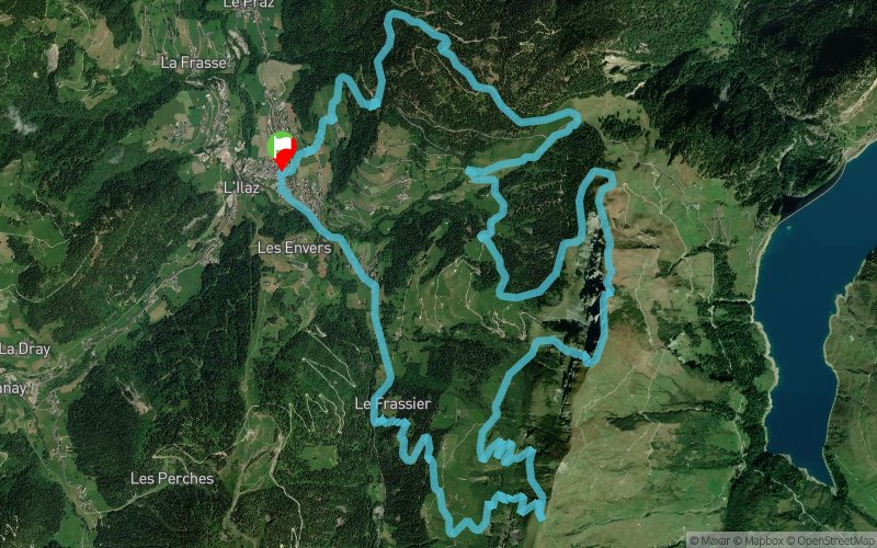
Arêches - Roche Parstire - Col du Pré
 20.6 km
1673 m
1673 m
20.6 km
1673 m
1673 m
GPX
184
PDF
Profile
Share
3D
Favorites
Reviews
Like
Beaufort (73) Beaufort (73)
Effort kilometer
Longest ascent
Longest descent
37
999 m
706 m
Max. elevation
Min. elevation
Quality index
2103 m
1043 m
 1pt/10m
Start
Distance
0 km
Altitude
1043 m
D+
0 m
D-
0 m
20.6 km
1673 m
1673 m
Finish
Distance
20.6 km
Altitude
1043 m
D+
1673 m
D-
1673 m
Click on a point of interest to display it on the map
Reviews and times
Add a track
Arêches - Roche Parstire - Col du Pré

Track number : 9485
Link to track :
https://tracedetrail.fr/en/trace/9485
Log in to insert this track on your website
 Trace de Trail