
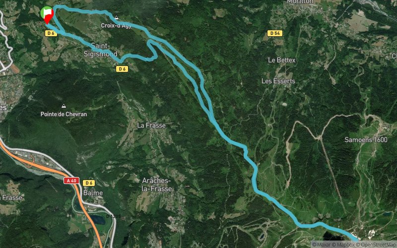
Saint Sigismond - La Vieille - Pointe de Cupoire - Tête du Pré des Saix
ROUTE TESTED BY THE AUTHOR
 24.1 km
1520 m
1520 m
24.1 km
1520 m
1520 m
GPX
3
PDF
Profile
Share
3D
Favorites
Reviews
Like
Saint-Sigismond (74) Saint-Sigismond (74)
Effort kilometer
Longest ascent
Longest descent
39
760 m
1060 m
Max. elevation
Min. elevation
Quality index
2105 m
897 m
 1pt/12m
Start
Distance
0 km
Altitude
900 m
D+
0 m
D-
0 m
24.1 km
1520 m
1520 m
Finish
Distance
24.1 km
Altitude
900 m
D+
1520 m
D-
1520 m
Click on a point of interest to display it on the map
Reviews and times
Add a track
Saint Sigismond - La Vieille - Pointe de Cupoire - Tête du Pré des Saix

Track number : 88489
Link to track :
https://tracedetrail.fr/en/trace/88489
Log in to insert this track on your website
 Trace de Trail