
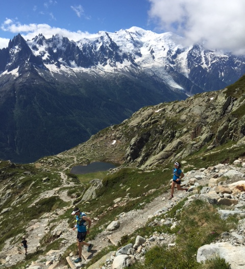
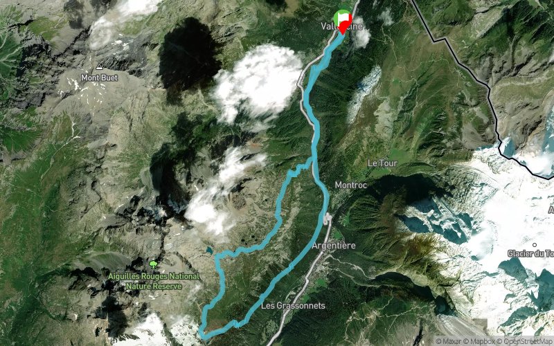
Col des Montets - Lac Blanc - Tré-le-Champ
 23.7 km
1364 m
1364 m
23.7 km
1364 m
1364 m
GPX
212
PDF
Profile
Share
3D
Favorites
Reviews
Like
Vallorcine (74) Vallorcine (74)
Effort kilometer
Longest ascent
Longest descent
37
1156 m
2728 m
Max. elevation
Min. elevation
Quality index
2360 m
1286 m
 1pt/5m


Start
Distance
0 km
Altitude
1286 m
D+
0 m
D-
0 m
3.7 km
202 m
9 m
Col des Montets
Distance
3.7 km
Altitude
1479 m
D+
202 m
D-
9 m
5.6 km
939 m
62 m
Lac Blanc
Distance
9.4 km
Altitude
2356 m
D+
1141 m
D-
71 m
9.1 km
129 m
1066 m
Tré-le-Champ
Distance
18.5 km
Altitude
1419 m
D+
1270 m
D-
1137 m
5.1 km
94 m
227 m
Finish
Distance
23.7 km
Altitude
1286 m
D+
1364 m
D-
1364 m
Click on a point of interest to display it on the map
Reviews and times
Add a track
Col des Montets - Lac Blanc - Tré-le-Champ

Track number : 8827
Link to track :
https://tracedetrail.fr/en/trace/8827
Log in to insert this track on your website
 Trace de Trail