
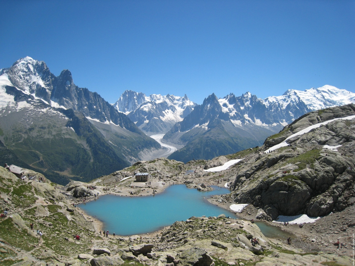
Chamonix-Vallorcine par le lac Blanc
SELECTED ROUTE
 18.84 km
1415 m
1191 m
18.84 km
1415 m
1191 m
GPX
203
PDF
Profile
Share
3D
Favorites
Reviews
Like
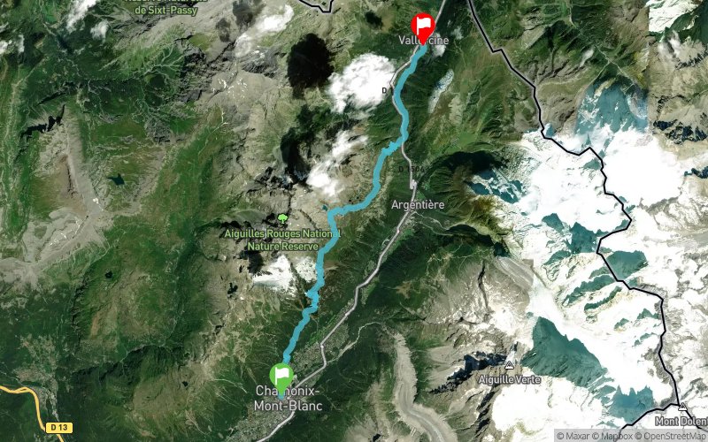
Chamonix-Mont-Blanc (74) Vallorcine (74)
Effort kilometer
Longest ascent
Longest descent
32
1406 m
1127 m
Max. elevation
Min. elevation
Quality index
2349 m
1041 m
 1pt/26m
Magnifique traversée !
La première partie jusqu'à la Flégère est la moins intéressante (beaucoup de pistes, sous bois), mais une fois arrivé à cette altitude, le décor change ! Glaciers, lacs: les panoramas sont magnifiques!
Entre la Flégère et la redescente sur le chalet d'accueil de la réserve des Aiguilles Rouges, le parcours est un peu plus technique car plus minéral, mais ça se cours bien.
Navettes entre Chamonix et la gare de Vallorcine (point d'arrivée du tracé).
En voir plus... En voir moins...

Start
Distance
0 km
Altitude
1043 m
D+
0 m
D-
0 m
18.8 km
1415 m
1191 m
Finish
Distance
18.8 km
Altitude
0 m
D+
1415 m
D-
1191 m
Click on a point of interest to display it on the map
Reviews and times
Add a track
Chamonix-Vallorcine par le lac Blanc

Track number : 83
Link to track :
https://tracedetrail.fr/en/trace/83
Log in to insert this track on your website
 Trace de Trail