
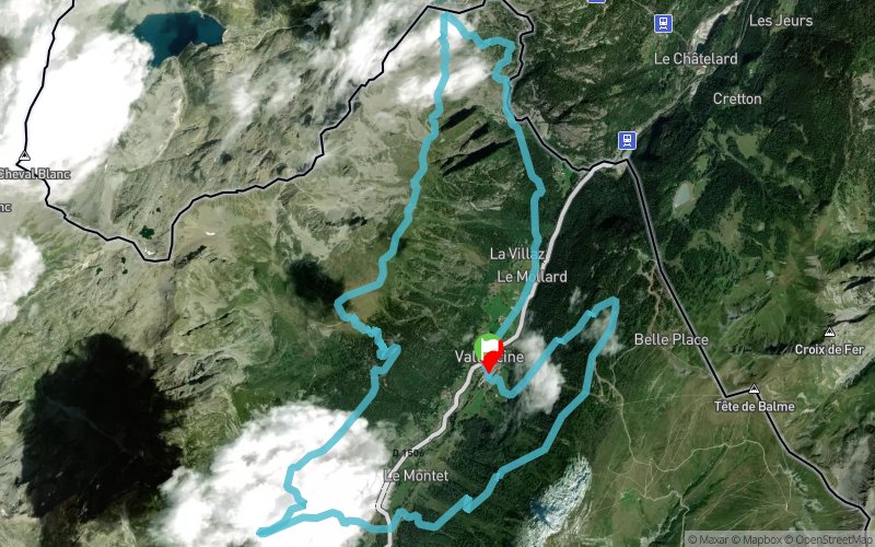
Boucle Vallorcine - col du Passet - Aiguillettes Parées
SELECTED ROUTE
 21.6 km
1613 m
1614 m
21.6 km
1613 m
1614 m

GPX
832
PDF
Profile
Share
3D
Favorites
Reviews
1 Like
Vallorcine (74) Vallorcine (74)
Effort kilometer
Longest ascent
Longest descent
37
860 m
770 m
Max. elevation
Min. elevation
Quality index
2118 m
1228 m
 1pt/7m
Parcours permettant de découvrir les deux versants de la vallée. Cette boucle est idéale pour l’entrainement « long » avec comme principales difficultés deux belles montées et quelques passages équipés en altitude (chaînes et mains-courantes).
Track created by Vallée du Trail
le 2013/06/20 (modified on 2020/08/15)
le 2013/06/20 (modified on 2020/08/15)


Vallorcine
Distance
0 km
Altitude
1265 m
D+
0 m
D-
0 m
5 km
746 m
76 m
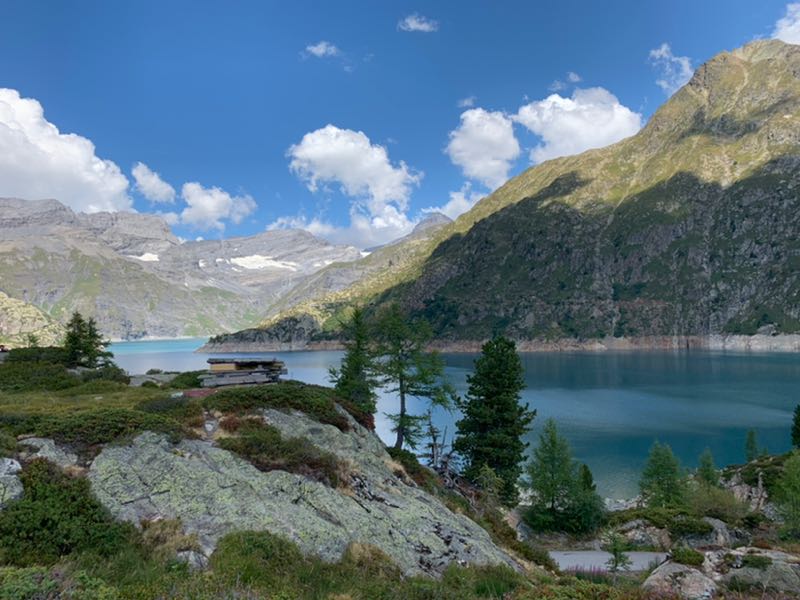
Barrage d'Emosson (alt.1940m)
Distance
5 km
Altitude
1939 m
D+
746 m
D-
76 m
0 km
12 m
0 m
Passage cablé
Distance
5.1 km
Altitude
1949 m
D+
758 m
D-
76 m
3.7 km
284 m
214 m
Chalet de la Loriaz (alt. 2015m)
Distance
8.8 km
Altitude
2022 m
D+
1042 m
D-
290 m
5.9 km
46 m
722 m
Le Buet
Distance
14.7 km
Altitude
1339 m
D+
1088 m
D-
1012 m
6.8 km
525 m
602 m
Finish
Distance
21.6 km
Altitude
1265 m
D+
1613 m
D-
1614 m
Vallorcine, gare sncf
Click on a point of interest to display it on the map
Reviews and times
Add a track
Boucle Vallorcine - col du Passet - Aiguillettes Parées

Track number : 780
Link to track :
https://tracedetrail.fr/en/trace/780
Log in to insert this track on your website
 Trace de Trail