
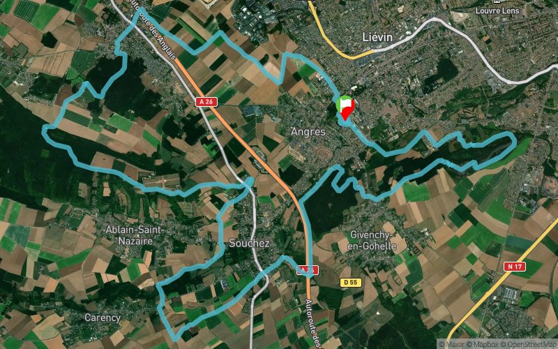
Grand Trail Nocturne des hauts de France 2024 - 36 km
 35.9 km
1040 m
1040 m
35.9 km
1040 m
1040 m
26/10/2024
GPX
1011
PDF
Profile
Share
3D
Favorites
Reviews
Like
3
Angres (62) Angres (62)
Effort kilometer
Longest ascent
Longest descent
46
110 m
120 m
Max. elevation
Min. elevation
Quality index
198 m
28 m
 1pt/22m
Track created by sylvainmichel
le 2018/12/17 (modified on 2024/04/03)
le 2018/12/17 (modified on 2024/04/03)


Start
Distance
0 km
Altitude
70 m
D+
0 m
D-
0 m
13.2 km
322 m
303 m
liaison 61 km
Distance
13.2 km
Altitude
89 m
D+
322 m
D-
303 m
1.6 km
96 m
22 m
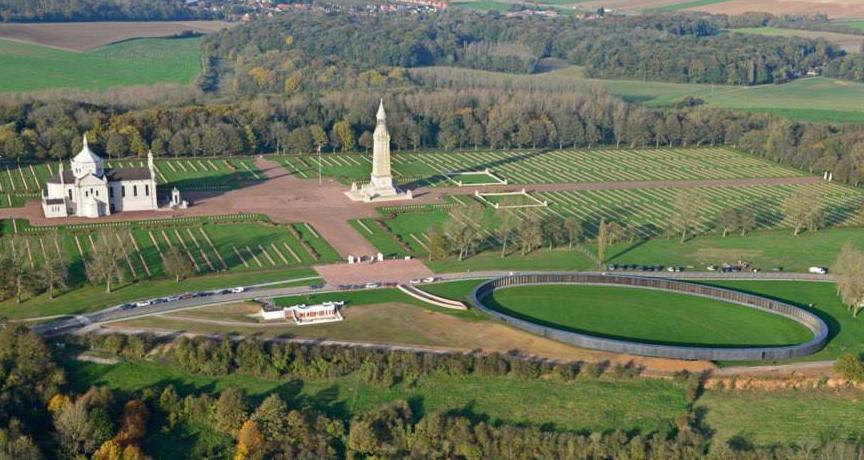
R1 14.5 km Musée 14/18 de Souchez
Distance
14.8 km
Altitude
163 m
D+
418 m
D-
325 m
11.7 km
334 m
431 m
R2
Distance
26.6 km
Altitude
66 m
D+
752 m
D-
756 m
9.2 km
288 m
284 m
Finish
Distance
35.9 km
Altitude
70 m
D+
1040 m
D-
1040 m
Click on a point of interest to display it on the map
Reviews and times
Add a track
Grand Trail Nocturne des Hauts de France Grand Trail Nocturne des hauts de France 2024 - 36 km

Track number : 74868
Link to track :
https://tracedetrail.fr/en/trace/74868
Log in to insert this track on your website
 Trace de Trail