
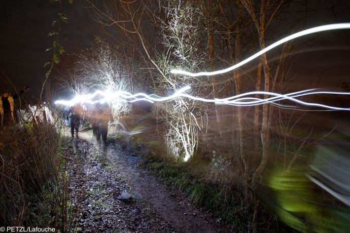
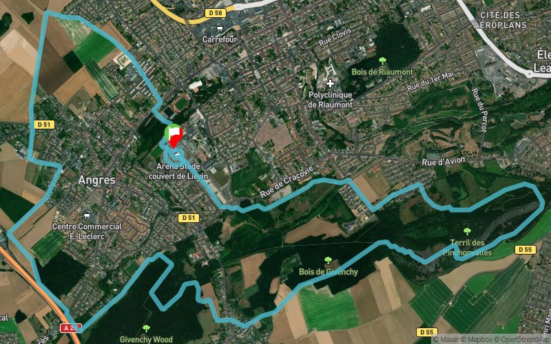
Grand Trail Nocturne des Hauts de France 2024 - 16 km
 15.6 km
520 m
520 m
15.6 km
520 m
520 m
26/10/2024
GPX
486
PDF
Profile
Share
3D
Favorites
Reviews
Like
1
Angres (62) Angres (62)
Effort kilometer
Longest ascent
Longest descent
20
110 m
80 m
Max. elevation
Min. elevation
Quality index
114 m
28 m
 1pt/17m
Track created by sylvainmichel
le 2018/12/15 (modified on 2024/04/03)
le 2018/12/15 (modified on 2024/04/03)

Start
Distance
0 km
Altitude
72 m
D+
0 m
D-
0 m
15.6 km
520 m
520 m
Finish
Distance
15.6 km
Altitude
72 m
D+
520 m
D-
520 m
Click on a point of interest to display it on the map
Reviews and times
Add a track
Grand Trail Nocturne des Hauts de France Grand Trail Nocturne des Hauts de France 2024 - 16 km

Track number : 74773
Link to track :
https://tracedetrail.fr/en/trace/74773
Log in to insert this track on your website
 Trace de Trail