
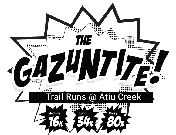
The Gazuntite 2018 - 34 km
ITRA
 34.1 km
1480 m
1480 m
34.1 km
1480 m
1480 m

GPX
4
PDF
Profile
Share
3D
Favorites
Reviews
Like
Wharehine (NZ) Wharehine ()
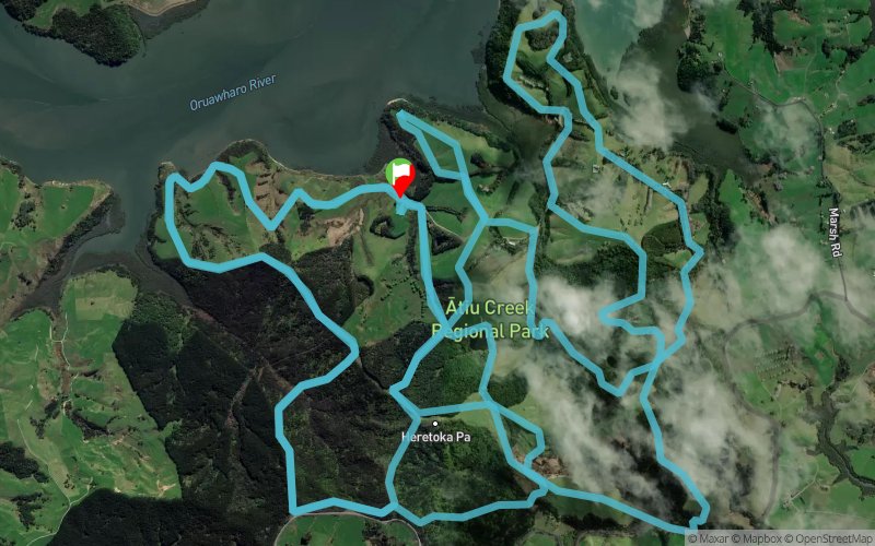
Effort kilometer
Longest ascent
Longest descent
48
160 m
130 m
Max. elevation
Min. elevation
Quality index
167 m
4 m
 1pt/11m
The Gazuntite is a brand new trail run event created to replace The Hillary which has had to be cancelled for 2018 due to a r?hui placed on the Waitakere Ranges by local iwi Te Kawerau a Maki in order to prevent the continued spread of Kauri Dieback.
Choose from an 80km Ultra Run, 80km 2-3 person run relay, or a 34 or 16km run or walk.
Based at a new-ish Auckland Regional Park – Atiu Creek Farm was gifted to the Auckland Regional Council by Jackie and Pierre Chatelanat who wanted to ensure that all New Zealanders could enjoy access to the Kaipara Harbour, and that the cultural and heritage values of the area would be protected. And what a treat they left for all of us!
You’ll enjoy a mix of open farmland, gravel farm tracks, pine covered forestry trails, native bush, hills, some awesome views of the Kaipara Harbour and some hills!!
En voir plus... En voir moins...

Start
Distance
0 km
Altitude
15 m
D+
0 m
D-
0 m
34.1 km
1474 m
1474 m
Finish
Distance
34.1 km
Altitude
15 m
D+
1474 m
D-
1474 m
Click on a point of interest to display it on the map
Reviews and times
Add a track
The Gazuntite 2018 - 34 km

Track number : 54241
Link to track :
https://tracedetrail.fr/en/trace/54241
Log in to insert this track on your website
 Trace de Trail