
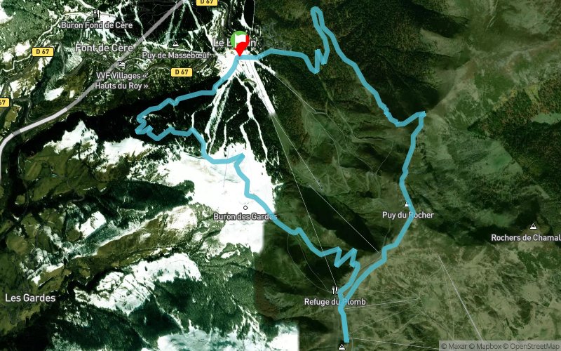
Parcours 32 bleu - Plomb du Cantal - Puy du Rocher
ESPACE TRAIL ROUTE
 11.8 km
750 m
750 m
11.8 km
750 m
750 m

GPX
481
PDF
Profile
Share
3D
Favorites
Reviews
Like
1
Le Lioran (15) Le Lioran (15)
Effort kilometer
Longest ascent
Longest descent
19
600 m
660 m
Max. elevation
Min. elevation
Quality index
1843 m
1232 m
 1pt/10m
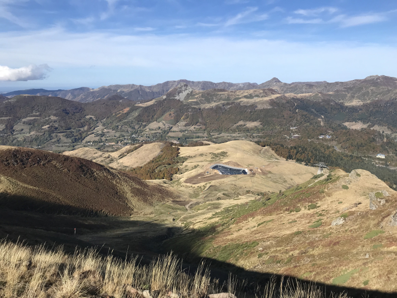
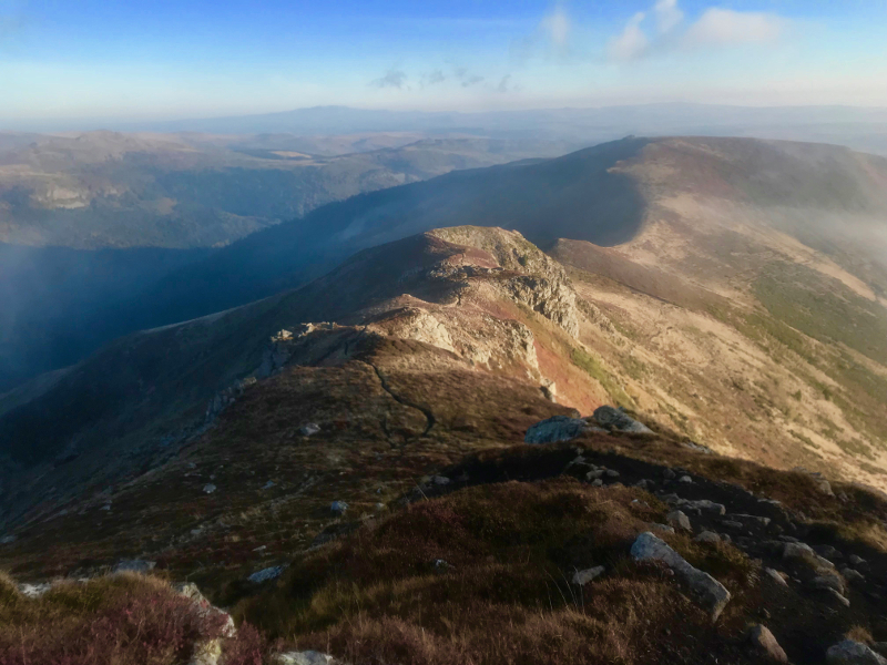
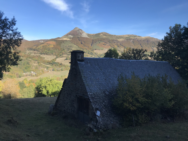
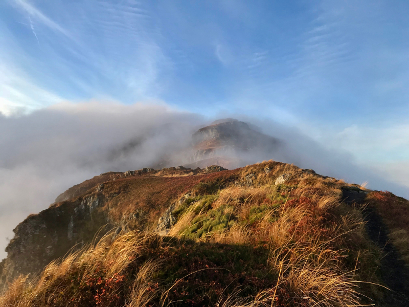
Cette boucle entre le Lioran et le Plomb du Cantal vous permettra de profiter du magnifique terrain de jeux que la station offre aux trailers : de belles ascensions, des sections en ligne de crêtes, des descentes techniques, du sentier monotrace en zone d’estives ou encore de beaux chemins forestiers... un condensé de ce que l’on peut retrouver en Trail. Un parcours sportif mais accessible à tous.
En voir plus... En voir moins...
Track created by Espace Trail Massif Cantalien
le 2018/02/07 (modified on 2021/02/26)
le 2018/02/07 (modified on 2021/02/26)


Le Lioran
Distance
0 km
Altitude
1239 m
D+
0 m
D-
0 m
6 km
691 m
93 m
Plomb du Cantal
Distance
6 km
Altitude
1837 m
D+
691 m
D-
93 m
5.7 km
59 m
657 m
Finish
Distance
11.8 km
Altitude
1239 m
D+
750 m
D-
750 m
Le Lioran
Click on a point of interest to display it on the map
Reviews and times
Add a track
Parcours 32 bleu - Plomb du Cantal - Puy du Rocher

Track number : 52367
Link to track :
https://tracedetrail.fr/en/trace/52367
Log in to insert this track on your website
 Trace de Trail