
Bryce Canyon 2018 - 100 Mile
ITRA
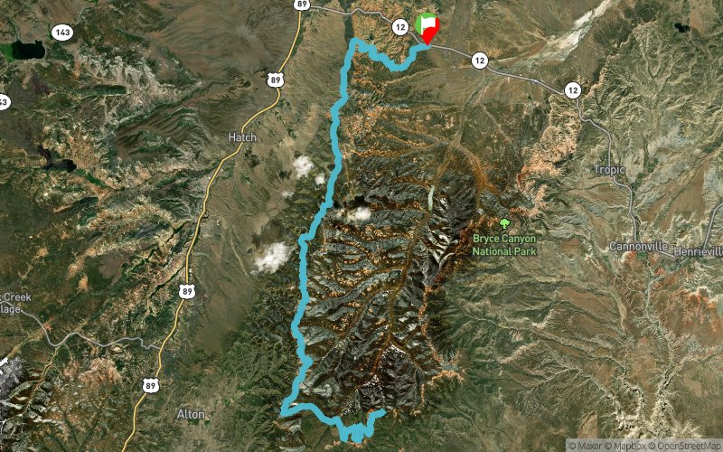
 158.1 km
4770 m
4800 m
158.1 km
4770 m
4800 m

GPX
5
PDF
Profile
Share
3D
Favorites
Reviews
Like
Bryce (US) (US)
Effort kilometer
Longest ascent
Longest descent
205
290 m
400 m
Max. elevation
Min. elevation
Quality index
2824 m
2207 m
 1pt/12m
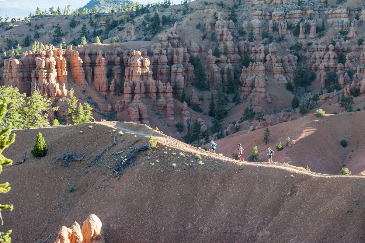
This scenic, mountain course runs along the western edge of the Paunsaugunt Plateau just outside of Bryce Canyon National Park, offering spectacular views above and below the hoodoos. The race is run at high elevation, with most of the miles on this rugged course between 8,000 – 9,000 ft.

Start
Distance
0 km
Altitude
2382 m
D+
0 m
D-
0 m
158.1 km
4770 m
4800 m
Finish
Distance
158.1 km
Altitude
2382 m
D+
4770 m
D-
4800 m
Click on a point of interest to display it on the map
Reviews and times
Add a track
Bryce Canyon 2018 - 100 Mile

Track number : 51231
Link to track :
https://tracedetrail.fr/en/trace/51231
Log in to insert this track on your website
 Trace de Trail