
Maxi-Race 2016 - XL Race - Jour 2
 40.3 km
2170 m
2180 m
40.3 km
2170 m
2180 m
29/05/2016
GPX
46
PDF
Profile
Share
3D
Favorites
Reviews
Like
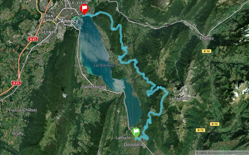
Doussard (74) Annecy-le-Vieux (74)
Effort kilometer
Longest ascent
Longest descent
62
680 m
640 m
Max. elevation
Min. elevation
Quality index
1416 m
461 m
 1pt/11m
Start
Distance
0 km
Altitude
474 m
D+
0 m
D-
0 m
40.3 km
2170 m
2180 m
Finish
Distance
40.3 km
Altitude
462 m
D+
2170 m
D-
2180 m
Click on a point of interest to display it on the map
Reviews and times
Add a track
Maxi-Race 2016 - XL Race - Jour 2

Track number : 22300
Link to track :
https://tracedetrail.fr/en/trace/22300
Log in to insert this track on your website
 Trace de Trail