
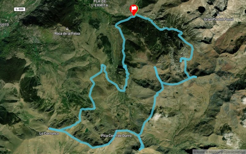
Pont de Sant Marti - Lo Corronco - Pica de Cervi - El Castellet de Moro
ROUTE TESTED BY THE AUTHOR
 33.2 km
2700 m
2710 m
33.2 km
2700 m
2710 m
GPX
3
PDF
Profile
Share
3D
Favorites
Reviews
Like
Taull (ES) Taull (ES)
Effort kilometer
Longest ascent
Longest descent
60
470 m
890 m
Max. elevation
Min. elevation
Quality index
2758 m
1693 m
 1pt/13m
Start
Distance
0 km
Altitude
1694 m
D+
0 m
D-
0 m
33.2 km
2700 m
2701 m
Finish
Distance
33.2 km
Altitude
1693 m
D+
2700 m
D-
2701 m
Click on a point of interest to display it on the map
Reviews and times
Add a track
Pont de Sant Marti - Lo Corronco - Pica de Cervi - El Castellet de Moro

Track number : 219037
Link to track :
https://tracedetrail.fr/en/trace/219037
Log in to insert this track on your website
 Trace de Trail