
OCH RUN 42
 43.5 km
2750 m
2140 m
43.5 km
2750 m
2140 m
20/05/2023
GPX
2
PDF
Profile
Share
3D
Favorites
Reviews
Like
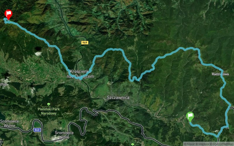
Jaworki (PL) Luban (PL)
Effort kilometer
Longest ascent
Longest descent
71
850 m
610 m
Max. elevation
Min. elevation
Quality index
1261 m
409 m
 1pt/27m
Start
Distance
0 km
Altitude
592 m
D+
0 m
D-
0 m
43.5 km
2744 m
2140 m
Finish
Distance
43.5 km
Altitude
1194 m
D+
2744 m
D-
2140 m
Click on a point of interest to display it on the map
Reviews and times
Add a track
Biegi w Ochotnicy. OCH RUN Wiosna OCH RUN 42

Track number : 207911
Link to track :
https://tracedetrail.fr/en/trace/207911
Log in to insert this track on your website
 Trace de Trail