
PTRF stage Kopacnica
 0.1 km
10 m
20 m
0.1 km
10 m
20 m
17/06/2023
GPX
PDF
Profile
Share
3D
Favorites
Reviews
Like
Sovodenj (SI) Sovodenj (SI)
Effort kilometer
Longest ascent
Longest descent
0
10 m
20 m
Max. elevation
Min. elevation
Quality index
546 m
526 m
 1pt/11m
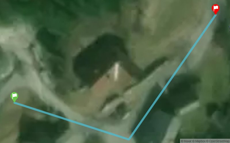
Start
Distance
0 km
Altitude
546 m
D+
0 m
D-
0 m
0.1 km
6 m
16 m
Finish
Distance
0.1 km
Altitude
536 m
D+
6 m
D-
16 m
Click on a point of interest to display it on the map
Reviews and times
Add a track
PTRF stage Kopacnica

Track number : 206793
Link to track :
https://tracedetrail.fr/en/trace/206793
Log in to insert this track on your website
 Trace de Trail