
Semi-Marathon de la Loire
 21.19 km
73 m
64 m
21.19 km
73 m
64 m

10/05/2026
Like
9 Favorites
Reviews
Share
GPX
487
PDF A4
PDF A0
Profile
Flyover
3D
Insert
Passages
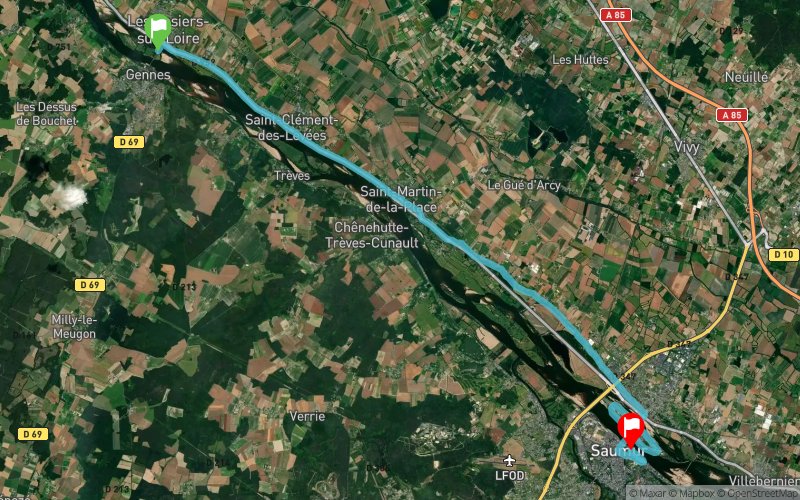
Les Rosiers-sur-Loire (49) Saumur (49)
Effort kilometer
Longest ascent
Longest descent
21
40 m
10 m
Max. elevation
Min. elevation
Quality index
37 m
22 m
 1pt/15m
Départ
Distance
0 km
Altitude
22 m
D+
0 m
D-
0 m
21.2 km
73 m
64 m
Arrivée
Distance
21.2 km
Altitude
31 m
D+
73 m
D-
64 m
Click on a point of interest to display it on the map
Reviews and times
Add a track
Semi-Marathon de la Loire

Track number : 203411
Link to track :
https://tracedetrail.fr/en/trace/203411
Log in to insert this track on your website
 Trace de Trail