
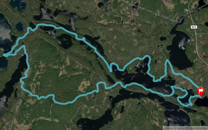
21 k Jatkonvaara
ITRA
 21 km
620 m
620 m
21 km
620 m
620 m

Like
Favorites
Reviews
Share
GPX
3
PDF A4
PDF A0
Profile
Flyover
3D
Insert
Passages
Jatkonsalmentie 6, 88920 Suomussalmi, Finland (FI) Jatkonsalmentie 6, 88920 Suomussalmi, Finland (FI)
Effort kilometer
Longest ascent
Longest descent
27
60 m
100 m
Max. elevation
Min. elevation
Quality index
279 m
186 m
 1pt/15m
http://www.kainuutrail.fi

Hossan luontokeskus
Distance
0 km
Altitude
207 m
D+
0 m
D-
0 m
21 km
612 m
616 m
Finish
Distance
21 km
Altitude
208 m
D+
612 m
D-
616 m
Click on a point of interest to display it on the map
Reviews and times
Add a track
Kainuu Trail Hossa National Park 21 k Jatkonvaara

Track number : 201733
Link to track :
https://tracedetrail.fr/en/trace/201733
Log in to insert this track on your website
 Trace de Trail