
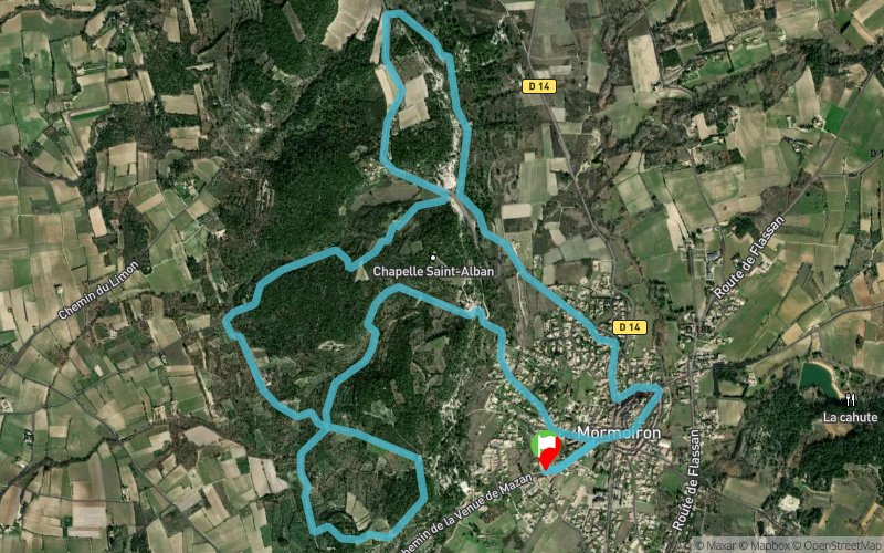
Parcours 1 vert - Le Limon
UNI'VERT TRAIL ROUTE
 11.1 km
300 m
300 m
11.1 km
300 m
300 m

GPX
50
PDF
Profile
Share
3D
Favorites
Reviews
Like
Mormoiron (84) Mormoiron (84)
Effort kilometer
Longest ascent
Longest descent
14
110 m
130 m
Max. elevation
Min. elevation
Quality index
346 m
222 m
 1pt/14m
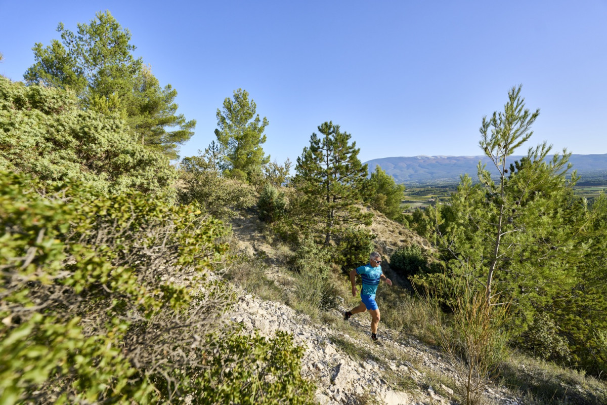
Parcours idéal pour découvrir le trail : alternance de single et de chemins
Passage en sous bois et en crêtes
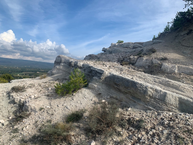
Découverte du limon
Panorama sur le Ventoux et le village de Mormoiron
Track created by Univert'Trail Vaucluse
le 2022/10/26 (modified on 2022/12/02)
le 2022/10/26 (modified on 2022/12/02)

Parking des écoles
Distance
0 km
Altitude
244 m
D+
0 m
D-
0 m
11.1 km
300 m
300 m
Finish
Distance
11.1 km
Altitude
244 m
D+
300 m
D-
300 m
Click on a point of interest to display it on the map
Reviews and times
Add a track
Parcours 1 vert - Le Limon

Track number : 199835
Link to track :
https://tracedetrail.fr/en/trace/199835
Log in to insert this track on your website
 Trace de Trail