
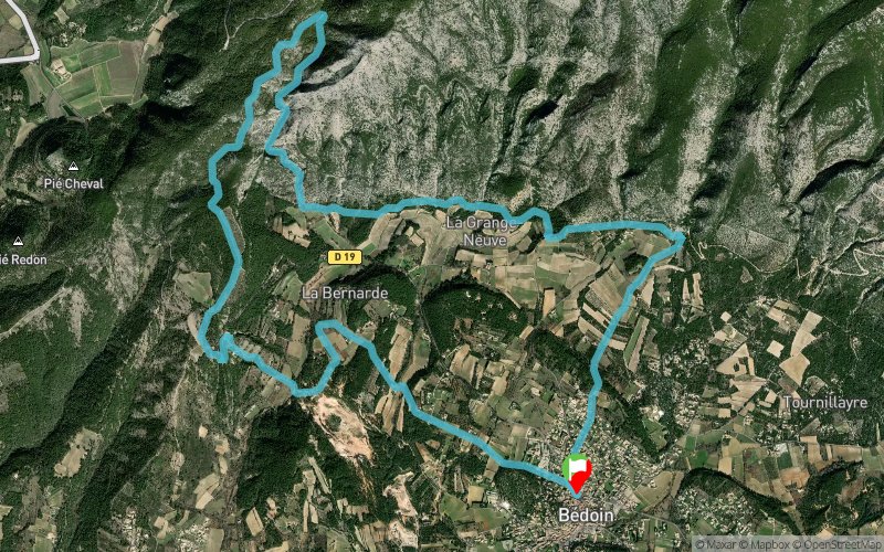
Parcours 11 bleu - Gros Pata
UNI'VERT TRAIL ROUTE
 15.4 km
620 m
620 m
15.4 km
620 m
620 m
GPX
48
PDF
Profile
Share
3D
Favorites
Reviews
2 Like
1
Bédoin (84) Bédoin (84)
Effort kilometer
Longest ascent
Longest descent
21
210 m
290 m
Max. elevation
Min. elevation
Quality index
644 m
309 m
 1pt/10m
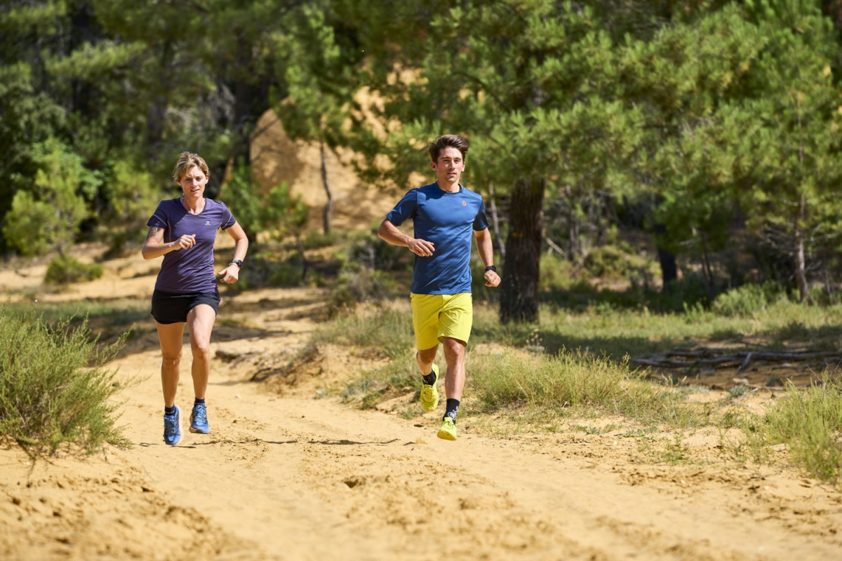
Enchaînement de montées-descentes idéal pour un entrainement alternatif.
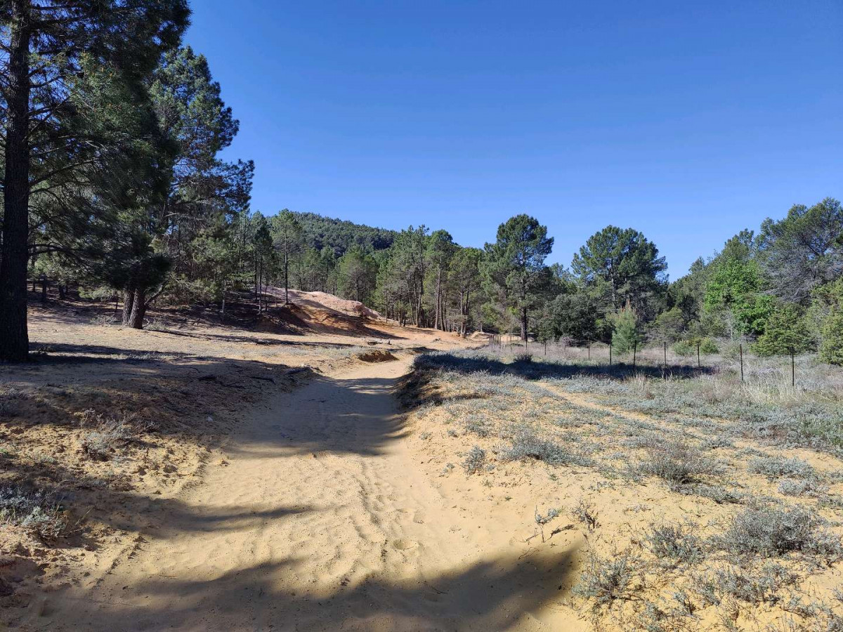
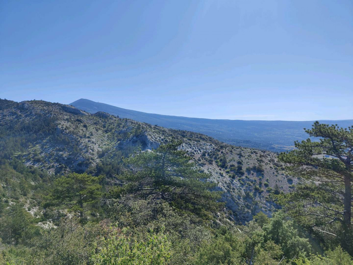
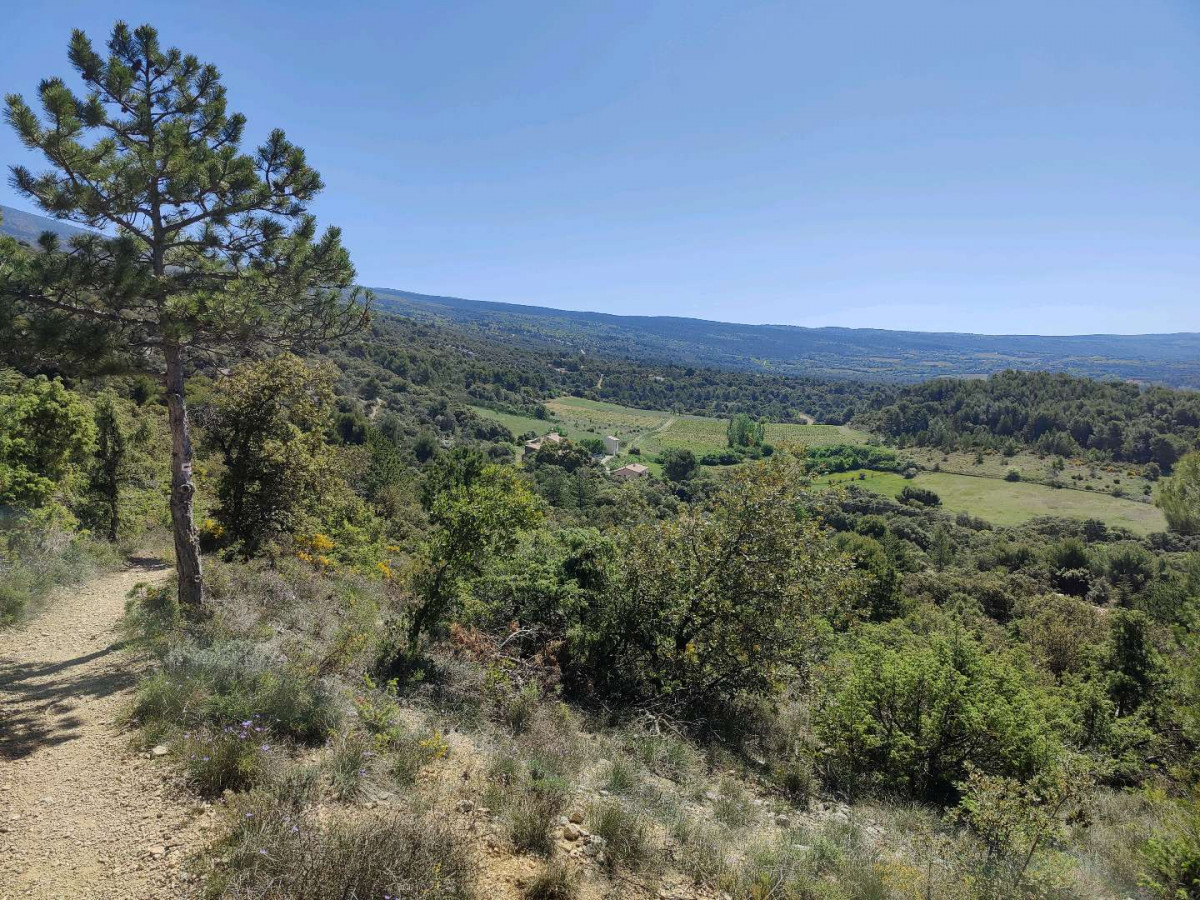
Chemins caillouteux
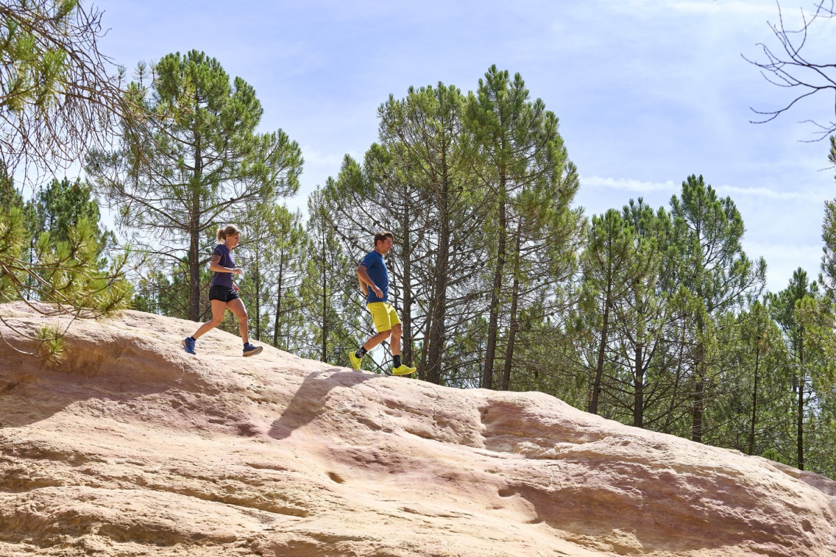
Découverte des carrières d'Ocres de Bedoin.
©Damien Rosso
Track created by Univert'Trail Vaucluse
le 2022/10/26 (modified on 2022/11/08)
le 2022/10/26 (modified on 2022/11/08)

Ch. de la Font du Loup
Distance
0 km
Altitude
310 m
D+
0 m
D-
0 m
15.4 km
620 m
620 m
Finish
Distance
15.4 km
Altitude
310 m
D+
620 m
D-
620 m
Click on a point of interest to display it on the map
Reviews and times
Add a track
Parcours 11 bleu - Gros Pata

Track number : 199826
Link to track :
https://tracedetrail.fr/en/trace/199826
Log in to insert this track on your website
 Trace de Trail