
Parcours 16 rouge - Montée sèche
UNI'VERT TRAIL ROUTE
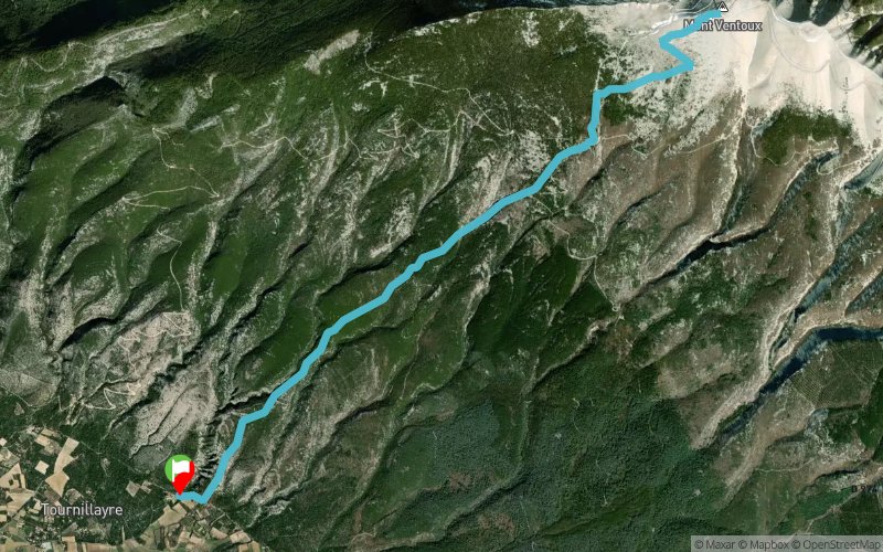
 16.6 km
1450 m
1450 m
16.6 km
1450 m
1450 m
GPX
77
PDF
Profile
Share
3D
Favorites
Reviews
Like
2
Bédoin (84) Bédoin (84)
Effort kilometer
Longest ascent
Longest descent
31
1450 m
1450 m
Max. elevation
Min. elevation
Quality index
1894 m
441 m
 1pt/12m
Parcours en aller-retour.
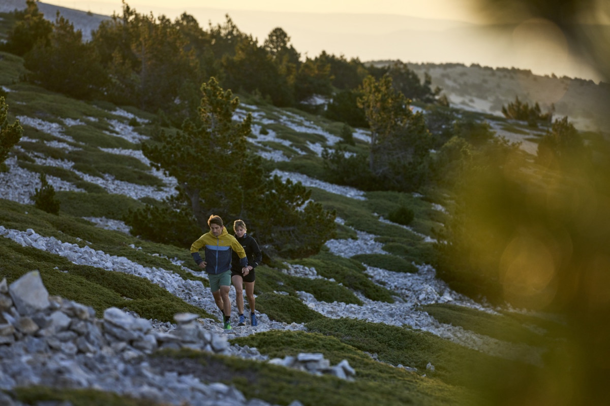
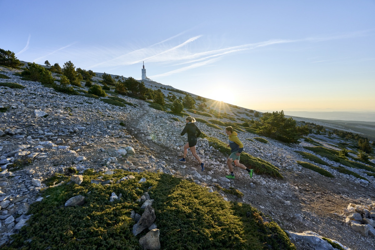
Montée avec des changements de pentes et dernier tiers souvent froid et venté.
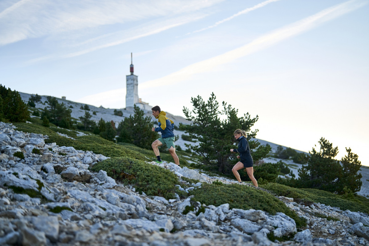
Vue à 360 degrés sur le delta du Rhône, les Alpilles, le Luberon, les monts de Vaucluse, le plateau de Sault et Lure, les Dentelles de Montmirail et la chaîne des Alpes.
©Damien Rosso
Track created by Univert'Trail Vaucluse
le 2022/10/25 (modified on 2022/11/08)
le 2022/10/25 (modified on 2022/11/08)

Hameau les Colombets
Distance
0 km
Altitude
441 m
D+
0 m
D-
0 m
16.6 km
1450 m
1450 m
Finish
Distance
16.6 km
Altitude
441 m
D+
1450 m
D-
1450 m
Click on a point of interest to display it on the map
Reviews and times
Add a track
Parcours 16 rouge - Montée sèche

Track number : 199741
Link to track :
https://tracedetrail.fr/en/trace/199741
Log in to insert this track on your website
 Trace de Trail