
Circuit 11 - Le trail du Lynx
ESPACE TRAIL ROUTE
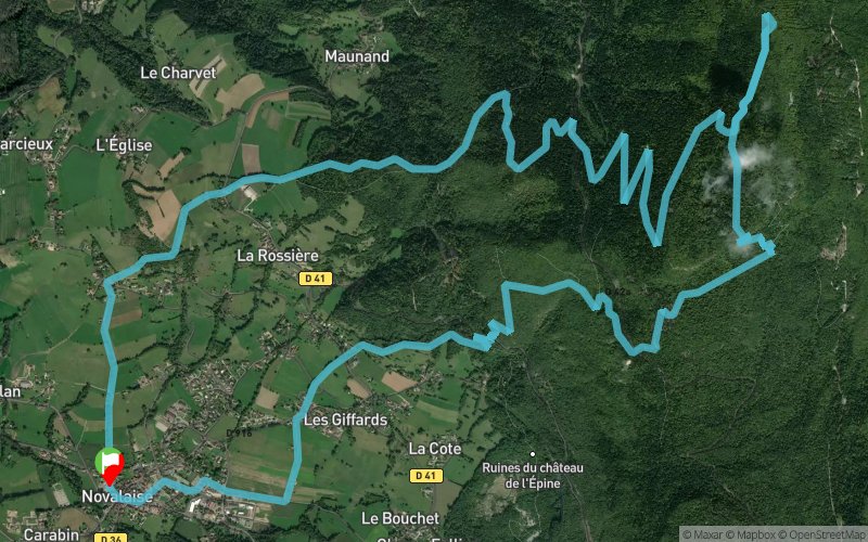
 17.2 km
1050 m
1050 m
17.2 km
1050 m
1050 m
GPX
125
PDF
Profile
Share
3D
Favorites
Reviews
1 Like
Novalaise (73) Novalaise (73)
Effort kilometer
Longest ascent
Longest descent
27
1050 m
1030 m
Max. elevation
Min. elevation
Quality index
1459 m
426 m
 1pt/16m
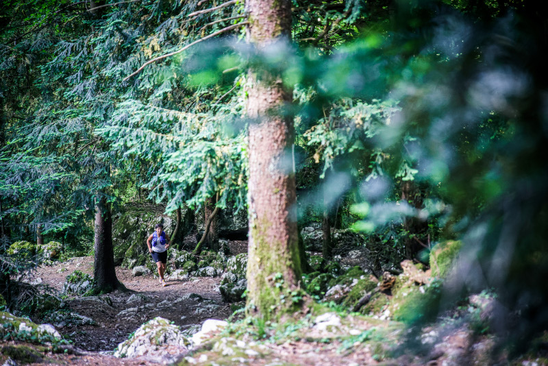
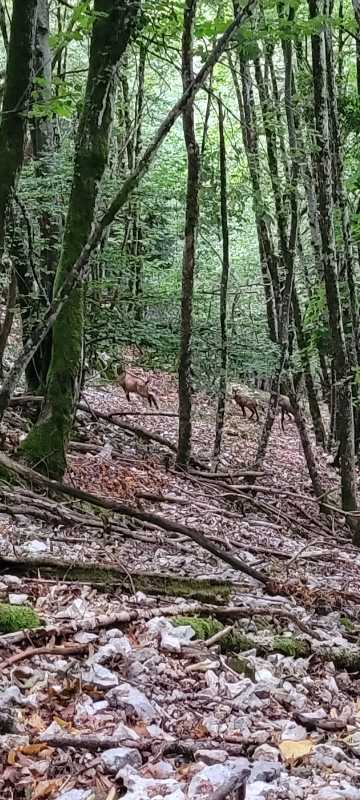
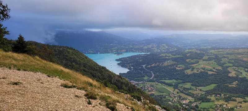
Au départ de Novalaise, cet itinéraire vous conduira à la Croix du Signal par une montée aux pentes par endroits soutenues, principalement en forêt. Vous découvrirez au sommet un promontoir rocheux offrant une vue imprenable sur les massifs des Bauges, de Belledonne, de la Chartreuse ainsi que sur les lac d'Aiguebelette et du Bourget. Compte-tenu du ratio distance/dénivelé, cet itinéraire s'adresse aux trailers expérimentés.
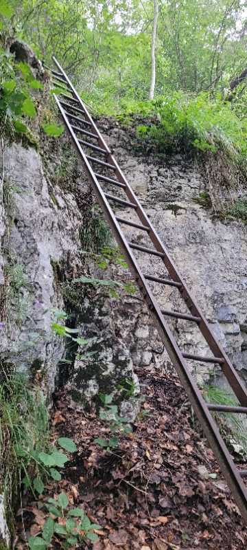
Important : au km 6, passage exposé équipé d'échelles. Possibilité d'emprunter un itinéraire de contournement
En voir plus... En voir moins...
Track created by Espace outdoor Pays du Lac d’Aiguebelette
le 2022/06/18
le 2022/06/18

Novalaise
Distance
0 km
Altitude
427 m
D+
0 m
D-
0 m
17.2 km
1050 m
1050 m
Finish
Distance
17.2 km
Altitude
427 m
D+
1050 m
D-
1050 m
Click on a point of interest to display it on the map
Reviews and times
Add a track
Circuit 11 - Le trail du Lynx

Track number : 186360
Link to track :
https://tracedetrail.fr/en/trace/186360
Log in to insert this track on your website
 Trace de Trail