
La bataille 2022
 26.9 km
1000 m
1000 m
26.9 km
1000 m
1000 m
26/06/2022
GPX
60
PDF
Profile
Share
3D
Favorites
Reviews
Like
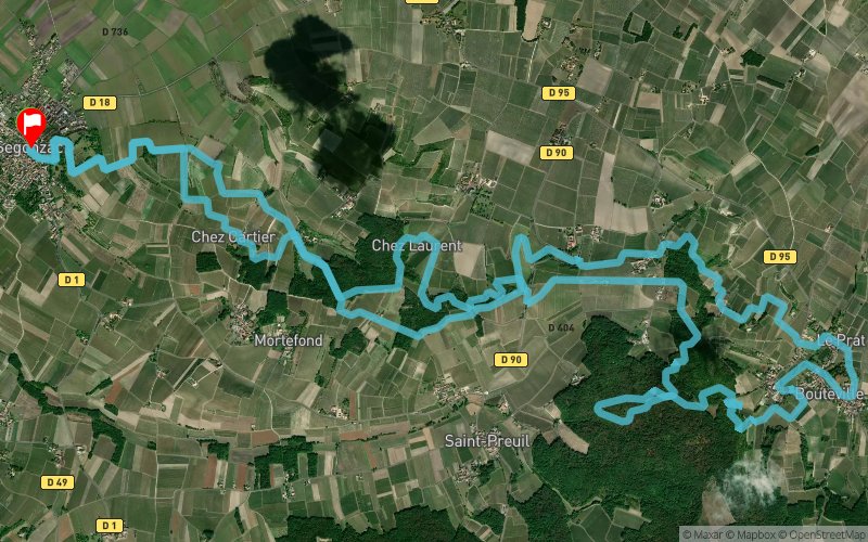
Segonzac (16) Segonzac (16)
Effort kilometer
Longest ascent
Longest descent
36
80 m
80 m
Max. elevation
Min. elevation
Quality index
153 m
49 m
 1pt/13m
Start
Distance
0 km
Altitude
56 m
D+
0 m
D-
0 m
26.9 km
997 m
994 m
Finish
Distance
26.9 km
Altitude
59 m
D+
997 m
D-
994 m
Click on a point of interest to display it on the map
Reviews and times
Add a track
La bataille 2022

Track number : 182051
Link to track :
https://tracedetrail.fr/en/trace/182051
Log in to insert this track on your website
 Trace de Trail