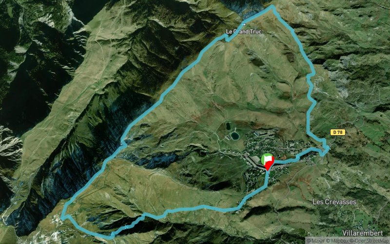
Boucle N°22 : Croix de Coin Cavour - Le Grand Truc
ROUTE TESTED BY THE AUTHOR
 13.7 km
910 m
910 m
13.7 km
910 m
910 m
Like
Favorites
Reviews
1 Share
GPX
19
PDF A4
PDF A0
Profile
Flyover
3D
Insert
Passages
La Toussuire (73) La Toussuire (73)
Effort kilometer
Longest ascent
Longest descent
22
610 m
580 m
Max. elevation
Min. elevation
Quality index
2300 m
1630 m
 1pt/11m
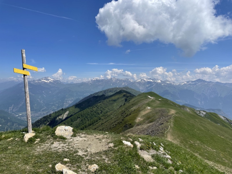
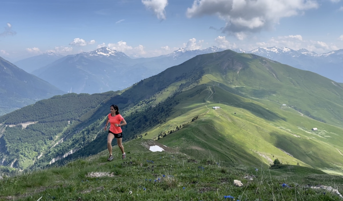
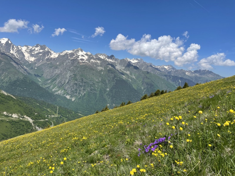
Cet itinéraire de niveau intermédiaire vous conduira sur les crêtes surplombant la station de La Toussuire. Vous découvrirez des panoramas exceptionnels, face aux Aiguilles d'Arves et au Mont-Blanc.
Parcours balisé : suivre balisage trail n°22 bleu
Parcours balisé : suivre balisage trail n°22 bleu


La Toussuire
Distance
0 km
Altitude
1690 m
D+
0 m
D-
0 m
3.5 km
472 m
3 m
Croix de Coin Cavour
Distance
3.5 km
Altitude
2159 m
D+
472 m
D-
3 m
5.3 km
370 m
328 m
Le Grand Truc
Distance
8.9 km
Altitude
2200 m
D+
842 m
D-
331 m
4.8 km
68 m
579 m
Finish
Distance
13.7 km
Altitude
1690 m
D+
910 m
D-
910 m
Click on a point of interest to display it on the map
Reviews and times

mickeytoun2022/08/17
2022/08/17 01:56:38
2022/08/17 01:56:38
Vallon de comborsiere magnifique, montée raide, ensuite c'est plus roulant jusqu'au pied du grand truc
Add a track
Boucle N°22 : Croix de Coin Cavour - Le Grand Truc

Track number : 153814
Link to track :
https://tracedetrail.fr/en/trace/153814
Log in to insert this track on your website

 Trace de Trail