
Trail De L'ile Rouge Madagascar 2021 - 17 km - Stage 4
ITRA
 17.1 km
110 m
110 m
17.1 km
110 m
110 m


GPX
2
PDF
Profile
Share
3D
Favorites
Reviews
Like
(MG) (MG)
Effort kilometer
Longest ascent
Longest descent
18
30 m
30 m
Max. elevation
Min. elevation
Quality index
43 m
13 m
 1pt/47m
Au programme de ces deux jours de descente :
Matinée : Deux étapes (3ème et 4ème) à travers
les rizières, villages et forêt de baobab.
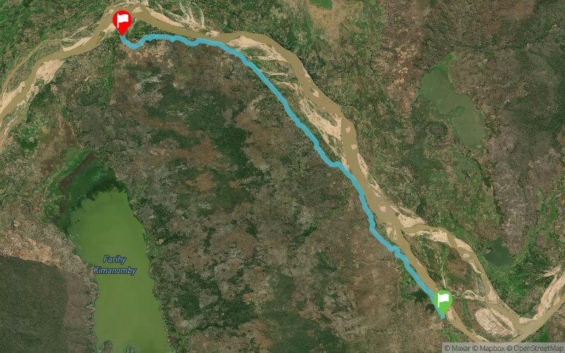
Troisième étape : 21.3km avec 94m de D+
Quatrième étape : 17.5km avec 120m de D+
Après-midi : 2 demies journées de voyage moramora
au rythme de la navigation à contempler les
berges du fleuve, sans oublier lémuriens et
crocodiles !
En voir plus... En voir moins...

Start
Distance
0 km
Altitude
14 m
D+
0 m
D-
0 m
17.1 km
109 m
105 m
Finish
Distance
17.1 km
Altitude
16 m
D+
109 m
D-
105 m
Click on a point of interest to display it on the map
Reviews and times
Add a track
Trail De L'ile Rouge Madagascar 2021 - 17 km - Stage 4

Track number : 124448
Link to track :
https://tracedetrail.fr/en/trace/124448
Log in to insert this track on your website
 Trace de Trail