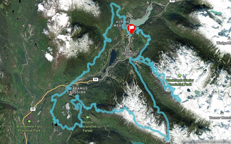
Whistler Alpine Meadows 2020 - 110K
ITRA
 116.8 km
6060 m
6060 m

GPX
PDF
Profile
Share
3D
Favorites
Reviews
Like
North Island, Sunshine Coast, and Southern Gulf Islands (Whistler) (CA) North Island, Sunshine Coast, and Southern Gulf Islands (Whistler) (CA)
Effort kilometer
Longest ascent
Longest descent
177
1560 m
1300 m
Max. elevation
Min. elevation
Quality index
2169 m
522 m
 1pt/13m

Start
Distance
0 km
Altitude
643 m
D+
0 m
D-
0 m
116.8 km
6051 m
6052 m
Finish
Distance
116.8 km
Altitude
643 m
D+
6051 m
D-
6052 m
Click on a point of interest to display it on the map
Reviews and times
Add a track
