
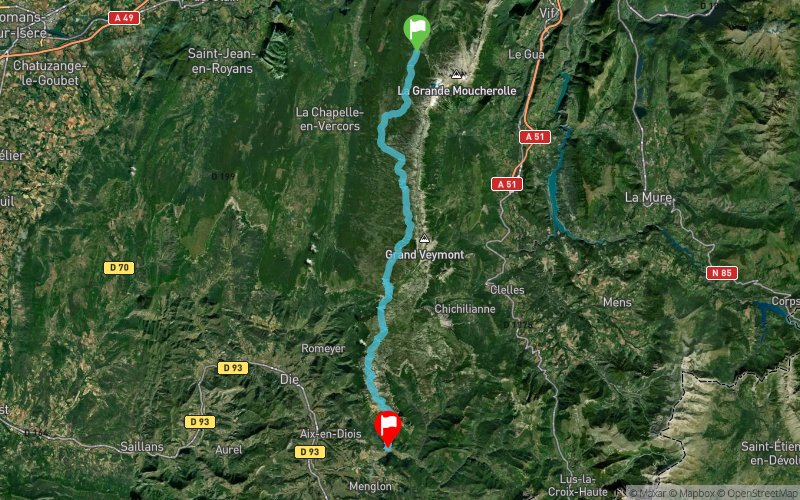
GR91 - Partie 2 - Corrençon - Châtillon en Diois
 50.8 km
1677 m
2211 m
50.8 km
1677 m
2211 m
Like
Favorites
Reviews
Share
GPX
101
PDF A4
PDF A0
Profile
Flyover
3D
Insert
Passages
Corrençon-en-Vercors (38) Châtillon-en-Diois (26)
Effort kilometer
Longest ascent
Longest descent
67
473 m
1442 m
Max. elevation
Min. elevation
Quality index
2021 m
608 m
 1pt/44m
 Click on a point of interest to display it on the map
Reviews and times
Add a track
GR91 - Partie 2 - Corrençon - Châtillon en Diois

Track number : 6963
Link to track :
https://tracedetrail.fr/en/trace/6963
Log in to insert this track on your website
 Trace de Trail