
Monterosa Est Himalayan Trail 2018 - 60K
ITRA
 62.3 km
4260 m
4260 m
62.3 km
4260 m
4260 m

Like
Favorites
Reviews
Share
GPX
17
PDF A4
PDF A0
Profile
Flyover
3D
Insert
Passages
Macugnaga (IT) Macugnaga (IT)
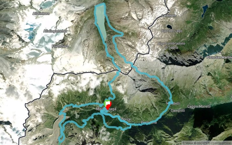
Effort kilometer
Longest ascent
Longest descent
104
1850 m
1520 m
Max. elevation
Min. elevation
Quality index
2881 m
989 m
 1pt/16m
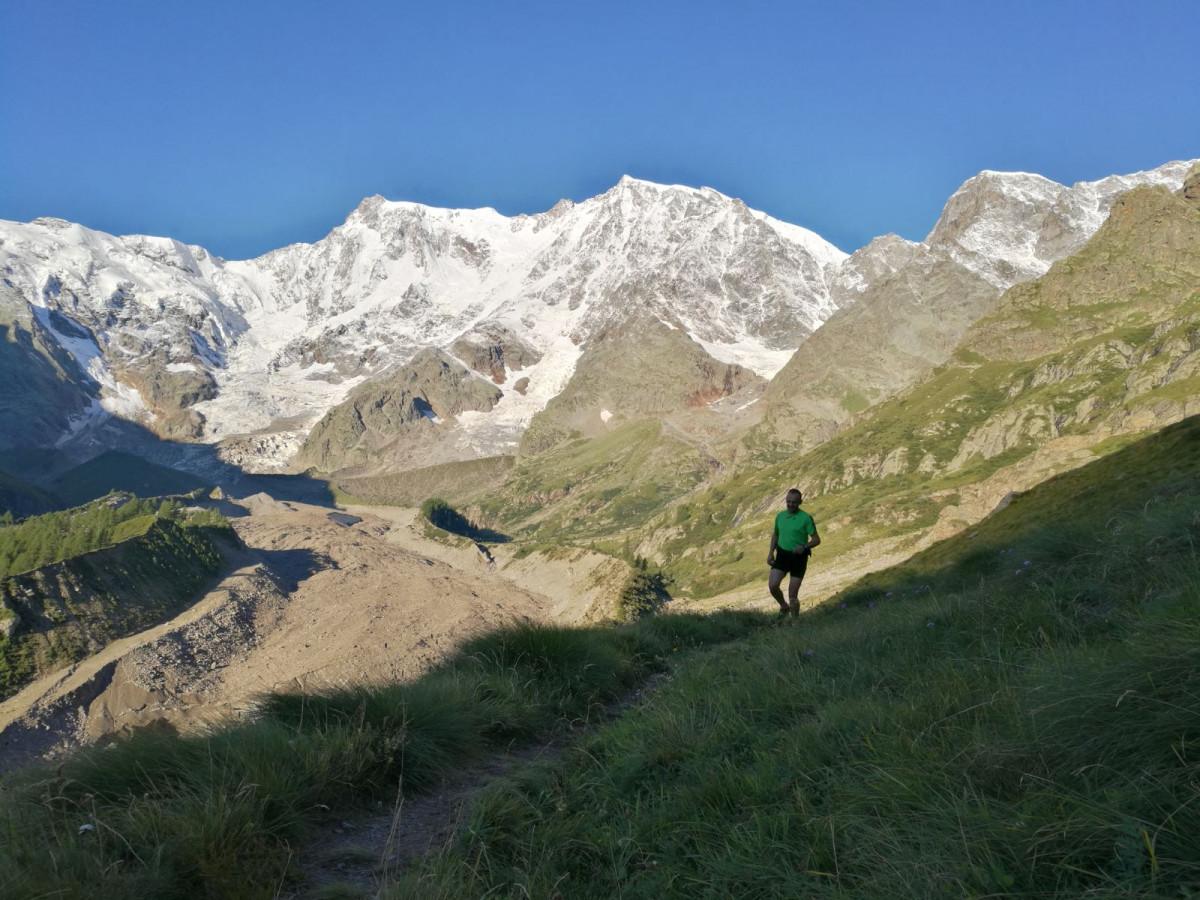
The MEHT 60K course has Start/Finish in Macugnaga (VB - Italy) and run along the Monte Rosa alpine chain between Italy and Switzerland with an amazing view of the Monte Rosa EAST wall, the highest and only Himalayan like alpine wall in Europe.
The MEHT 60K, with its breath-taking course, is the ideal race to approach longer TRAIL distances, or for the ones searching a quality train before the autumn ultras like UTMB and TOR.
En voir plus... En voir moins...
Track created by Sport PROMOTION ASD
le 2018/06/19 (modified on 2018/06/26)
le 2018/06/19 (modified on 2018/06/26)

Start
Distance
0 km
Altitude
1307 m
D+
0 m
D-
0 m
62.3 km
4260 m
4260 m
Finish
Distance
62.3 km
Altitude
1307 m
D+
4260 m
D-
4260 m
Click on a point of interest to display it on the map
Reviews and times
Add a track
Monterosa Est Himalayan Trail 2018 - 60K

Track number : 61743
Link to track :
https://tracedetrail.fr/en/trace/61743
Log in to insert this track on your website
 Trace de Trail