
Race to the Tower 2018
ITRA
 86.6 km
2040 m
1970 m
86.6 km
2040 m
1970 m


Like
Favorites
Reviews
Share
GPX
10
PDF A4
PDF A0
Profile
Flyover
3D
Insert
Passages
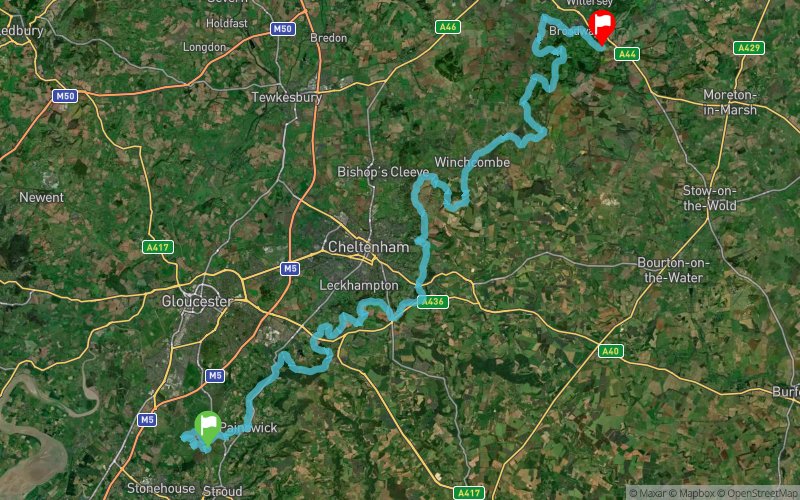
Whiteshill and Ruscombe (GB) Chipping Campden (GB)
Effort kilometer
Longest ascent
Longest descent
107
250 m
240 m
Max. elevation
Min. elevation
Quality index
310 m
58 m
 1pt/29m
A double marathon through the heart of the idyllic Cotswolds
Unrelentingly beautiful. Unforgettably challenging.

Start
Distance
0 km
Altitude
240 m
D+
0 m
D-
0 m
86.6 km
2032 m
1968 m
Finish
Distance
86.6 km
Altitude
309 m
D+
2032 m
D-
1968 m
Click on a point of interest to display it on the map
Reviews and times
Add a track
Race to the Tower 2018

Track number : 46707
Link to track :
https://tracedetrail.fr/en/trace/46707
Log in to insert this track on your website
 Trace de Trail