
Gran Trail Peñalara 2017 - TP 60
ITRA
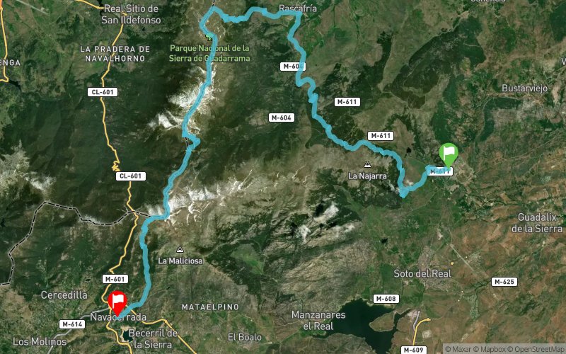
 63.3 km
2680 m
2620 m
63.3 km
2680 m
2620 m

Like
Favorites
Reviews
Share
GPX
7
PDF A4
PDF A0
Profile
Flyover
3D
Insert
Passages
Miraflores De La Sierra (ES) Becerril De La Sierra (ES)
Effort kilometer
Longest ascent
Longest descent
90
1470 m
1070 m
Max. elevation
Min. elevation
Quality index
2427 m
1134 m
 1pt/16m
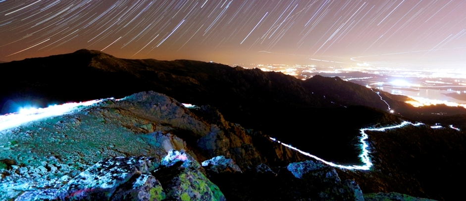
Carrera de larga distancia por montaña desarrollada en el Parque Nacional de Guadarrama, donde el pico más alto es Peñalara (2.428 m), techo de la prueba

Start
Distance
0 km
Altitude
1134 m
D+
0 m
D-
0 m
63.3 km
2674 m
2615 m
Finish
Distance
63.3 km
Altitude
1193 m
D+
2674 m
D-
2615 m
Click on a point of interest to display it on the map
Reviews and times
Add a track
Gran Trail Peñalara 2017 - TP 60

Track number : 32492
Link to track :
https://tracedetrail.fr/en/trace/32492
Log in to insert this track on your website
 Trace de Trail