
Vuokatti Trail Challenge 2017 - 23 km
ITRA
 22.2 km
980 m
1050 m
22.2 km
980 m
1050 m

Like
Favorites
Reviews
Share
GPX
22
PDF A4
PDF A0
Profile
Flyover
3D
Insert
Passages
Laakajärvi (FI) Pohjavaara (FI)
Effort kilometer
Longest ascent
Longest descent
32
130 m
180 m
Max. elevation
Min. elevation
Quality index
372 m
161 m
 1pt/17m
23 km
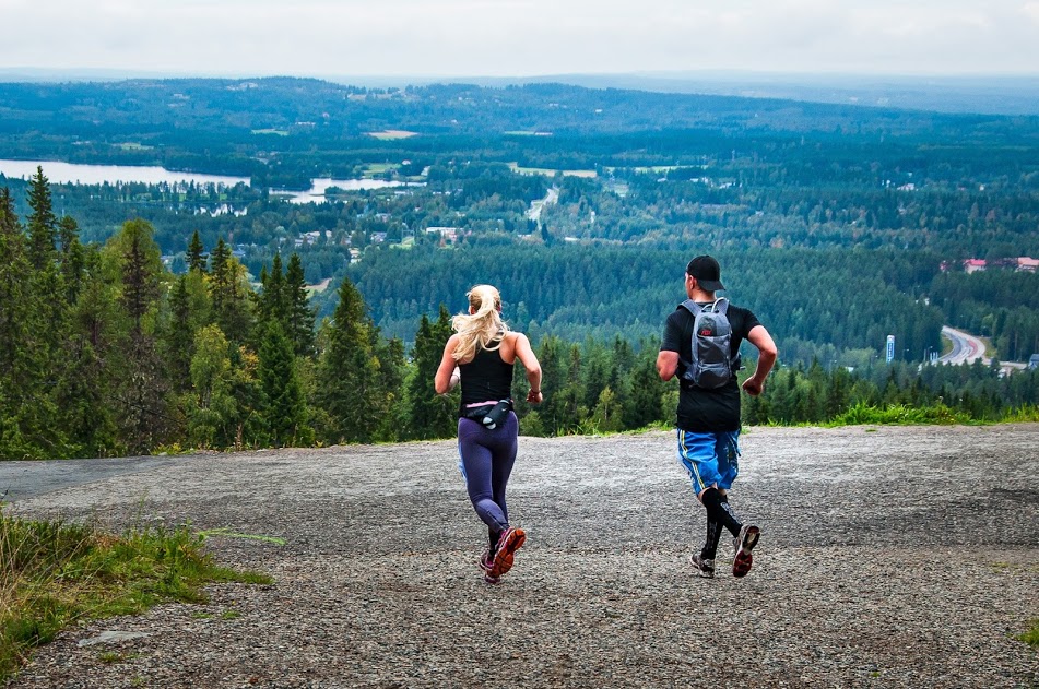
The start is located at an old school in Teerivaara and the finish is at hotel Vuokatinhovi. The track follows UKK- hiking route and goes over total of 13 large hills or ‘vaara’ as called in Finnish. The track offers outstanding hill, forest and lake sights for runners. Total height difference is about 960 meters and some of the climbs and descends are very steep and rocky, which makes the run very technical and challenging. Runners should be careful on the hill sides especially in wet conditions. As the route is very demanding especially in the last 13 kilometers it is sure to offer unforgettable experiences when overcoming the challenges. However, the hard work is rewarded with superb sights at the top of the numerous hills. The track is very versatile. It’s mostly wide and clean path but there’s also duckboards and stairs, rocks and rocky areas as well as short parts of sand roads. Despite the very technical parts, the track is generally well runnable. This route is by far the most stunning and awe-inspiring part of the Vuokatti Trail Challenge.
En voir plus... En voir moins...

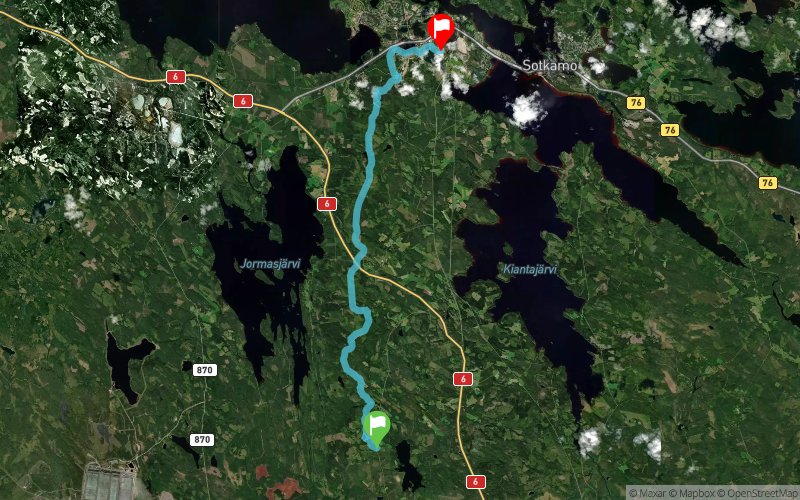
Municipality of Sotkamo, Teerivaara (old school building)
Distance
0 km
Altitude
240 m
D+
0 m
D-
0 m
22.2 km
973 m
1044 m
Municipality of Sotkamo, Vuokatti Sport Institute
Distance
22.2 km
Altitude
170 m
D+
973 m
D-
1044 m
Click on a point of interest to display it on the map
Reviews and times
Add a track
Vuokatti Trail Challenge 2017 - 23 km

Track number : 29237
Link to track :
https://tracedetrail.fr/en/trace/29237
Log in to insert this track on your website
 Trace de Trail