
Ref. Bertone - Ref. de Bonatti - Gd Col Ferret - La Fouly
 46.6 km
2870 m
2590 m
46.6 km
2870 m
2590 m
Like
Favorites
Reviews
Share
GPX
33
PDF A4
PDF A0
Profile
Flyover
3D
Insert
Passages
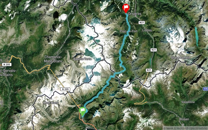
Courmayeur (IT) Champex-Lac (CH)
Effort kilometer
Longest ascent
Longest descent
75
880 m
1780 m
Max. elevation
Min. elevation
Quality index
2525 m
1036 m
 1pt/22m
Etape III TMB : Courmayeur/Champex-Lac - Suivi du parcours UTMB via Refuges Bertone (direct) et Bonati, Arnouvaz, Grand Col Ferret, La Fouly, Crête de Saleina, Issert, Champex


Courmayeur : Hôtel Vieux Pommier
Distance
0 km
Altitude
1201 m
D+
0 m
D-
0 m
4.6 km
775 m
11 m
Refuge Bertone
Distance
4.6 km
Altitude
1971 m
D+
775 m
D-
11 m
7.5 km
363 m
325 m
Refuge Bonatti
Distance
12.1 km
Altitude
2010 m
D+
1138 m
D-
336 m
5.2 km
180 m
397 m
Arnouvaz
Distance
17.3 km
Altitude
1789 m
D+
1318 m
D-
733 m
4.5 km
748 m
16 m
Grand Col Ferret
Distance
21.9 km
Altitude
2525 m
D+
2066 m
D-
749 m
9.8 km
137 m
1066 m
La Fouly
Distance
31.6 km
Altitude
1582 m
D+
2203 m
D-
1815 m
10.6 km
145 m
680 m
Issert
Distance
42.2 km
Altitude
1038 m
D+
2348 m
D-
2495 m
4.4 km
516 m
94 m
Champex-Lac : Hôtel Vieux Champex
Distance
46.6 km
Altitude
1463 m
D+
2864 m
D-
2589 m
Click on a point of interest to display it on the map
Reviews and times
Add a track
Ref. Bertone - Ref. de Bonatti - Gd Col Ferret - La Fouly

Track number : 23599
Link to track :
https://tracedetrail.fr/en/trace/23599
Log in to insert this track on your website
 Trace de Trail