Show the map
OFFICIAL ROUTE
Parcours Trail Thyon - Greppon Blanc


12.2 km
700 m
700 m
 Thyon (CH)
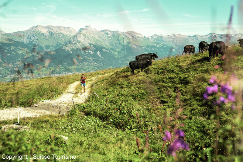
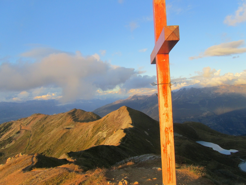
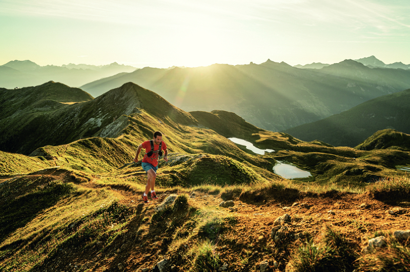
This is a varied 12.05km trail which will take you from the top of the Veysonnaz gondola to the top of the Cheminée ski lift and then along the mountain ridges with the highest point 'Le Greppon Blanc' at 2671 metres in altitude. This run takes about 3 hours. Its starting point is at 2100 metres in altitude.
Points of Interest table
| Accum. | Intermediary | |||||||
|---|---|---|---|---|---|---|---|---|
| POI | Description | Alt. | Dist. | D+ | D- | Dist. | D+ | D- |
Trace n°99759
Ascent threshold : 3 m Distance threshold : 30 m Smoothing : Yes Origin of altitudes : MNT Google
Ascent threshold : 3 m Distance threshold : 30 m Smoothing : Yes Origin of altitudes : MNT Google
Loop
Dominant terrain : Footpath
Max alti. : 2667 m
Avg alti. : 2349 m
Min alti. : 2108 m
Longest ascent : 320 m
Longest descent : 570 m
Route completed by the author : No
Dominant terrain : Footpath
Max alti. : 2667 m
Avg alti. : 2349 m
Min alti. : 2108 m
Longest ascent : 320 m
Longest descent : 570 m
Route completed by the author : No
Elevation profile
More tools
Create a new roadbook page
Map and track on your website
Warning ! When you insert a Trace de Trail map on your website, you agree not to hide any element of the module (links to Trail Trail or Trail Connect banner)
Add a realisation
Validate
Add a realisation to share your chrono and describe the conditions that you encountered during you trail running !
Add a comment
Validate
Show the infos
Add a track


