Route 20 green - Circuit découverte de Huelgoat
Add to my favorites

Caution: Due to the storms that happened in November, some tracks may be impracticable or closed. Before going out, please contact the local authorities to have more information.
Route closed
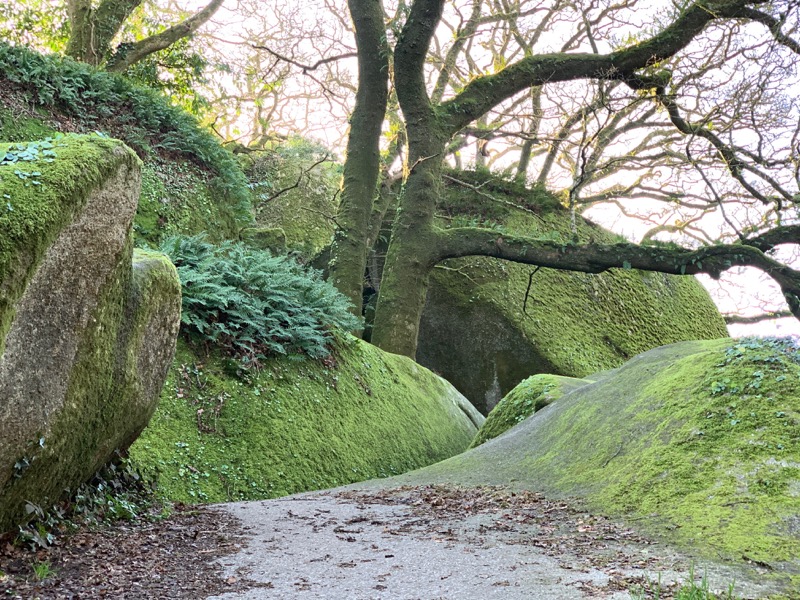
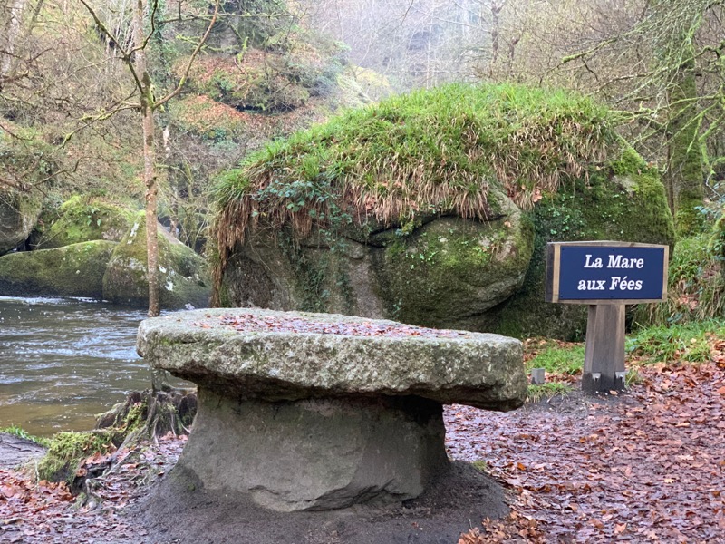
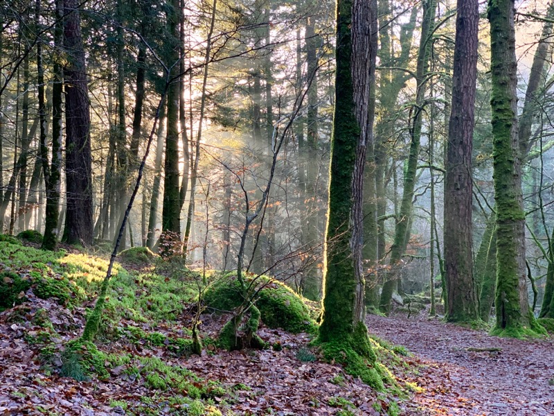
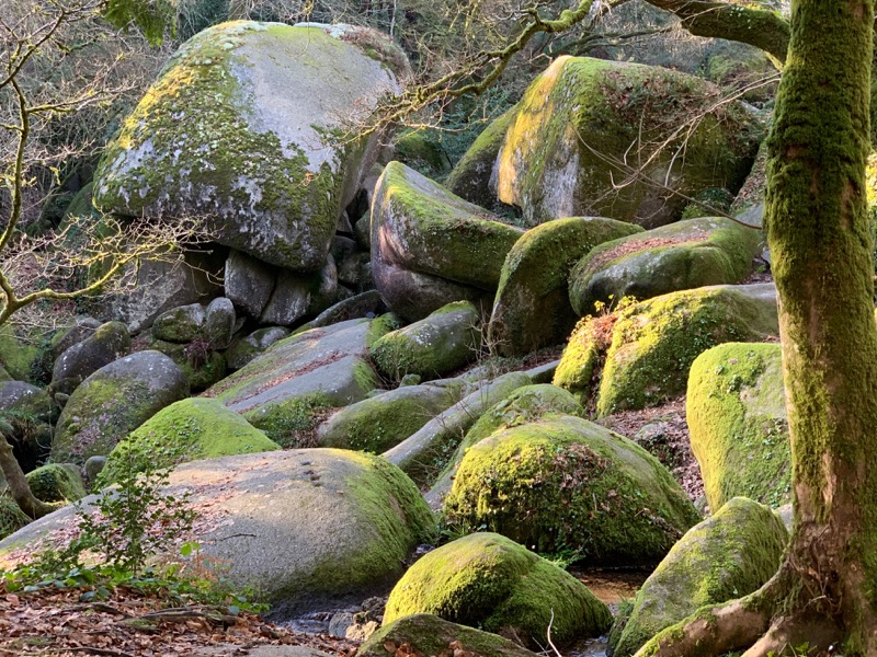
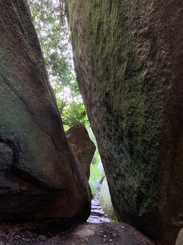
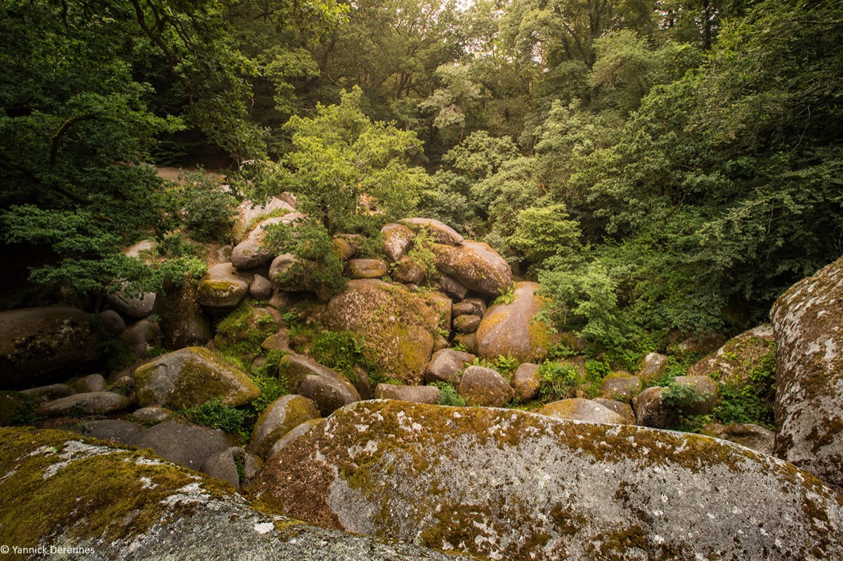
Starting from the car park behind the city hall, discover the treasures of Huelgoat. The route starts along the upper canal that fed the silver mine with the waters of Lake Huelgoat. You will reach the old mine before going up to the Abyss via the Fairy Pond. You will then return to Huelgoat via the Wild Boar Pool and the impressive granite chaos.
The characteristics of the route.

Huelgoat (29)
- Distance 8.7 km
- Elevation gain 210 m
- Elevation lost 210 m
- Min. elevation 92 m
- Max. elevation. 174 m
- Duration (depending on pace) 0h50 à 1h45
- Marking Follow yellow hiking signs
Area : Monts d'Arrée
Report a problem Add a comment
Fiche parcours n°20 Affiche_Découverte des landes et tourbières : les bons réflexes 
Find all the routes in your smartphone
Available this summer, the application Coeur de Bretagne will allow you to find all the trail running and hiking trails on your smartphone.
You will find many features in this application:
- locate yourself the route
- download data for offline access
- take advantage of detailed IGN maps
- add your chrono on the route
- find the services nearby...

Add your time and share your feelings
Services nearby

Office de tourisme des Monts d'Arrée - Huelgoat
Huelgoat

Huelgoat
Huelgoat

Maison d'hôtes Mirabelle
Huelgoat

Challenge Armorik Trail
Parc Naturel Régional d'Armorique
Gite de Kerbizien Izella
Huelgoat


Follow us on
the digital trails
the digital trails


![]()
Infos & contact
Destination Coeur de Bretagne - Kalon Breizh
6 rue Joseph Pennec
22110 Rostrenen
Tel. +33(0)2 96 29 26 53


OK
Annuler