Show the map
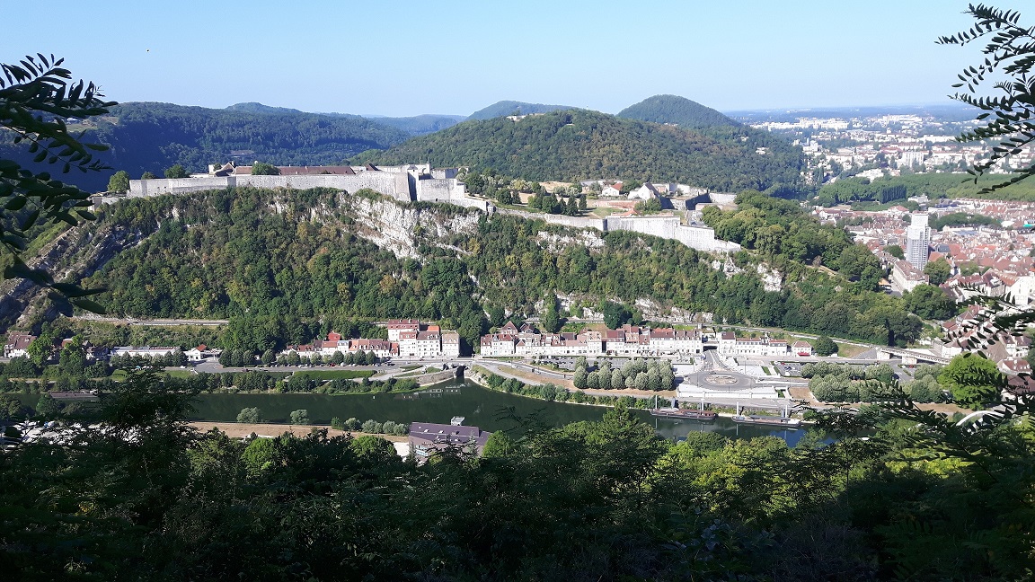
Fort de Brégille - Tarragnoz - Chapelle des Buis


15.4 km
650 m
650 m
 Montfaucon (25)
 Points of Interest table
| Accum. | Intermediary | |||||||
|---|---|---|---|---|---|---|---|---|
| POI | Description | Alt. | Dist. | D+ | D- | Dist. | D+ | D- |
Trace n°87826
Ascent threshold : 3 m Distance threshold : 30 m Smoothing : Yes Origin of altitudes : MNT IGN
Ascent threshold : 3 m Distance threshold : 30 m Smoothing : Yes Origin of altitudes : MNT IGN
Loop
Dominant terrain : Path
Max alti. : 491 m
Avg alti. : 380 m
Min alti. : 237 m
Longest ascent : 270 m
Longest descent : 250 m
Route completed by the author : Yes
Dominant terrain : Path
Max alti. : 491 m
Avg alti. : 380 m
Min alti. : 237 m
Longest ascent : 270 m
Longest descent : 250 m
Route completed by the author : Yes
Elevation profile
More tools
Create a new roadbook page
Map and track on your website
Warning ! When you insert a Trace de Trail map on your website, you agree not to hide any element of the module (links to Trail Trail or Trail Connect banner)
Add a realisation
Validate
Add a realisation to share your chrono and describe the conditions that you encountered during you trail running !
Add a comment
Validate
Admin - Trace de Trail
25/05/19, 22:01:28
Bonjour, Pour calculer le dénivelé en France, le MNT IGN donne des résultats nettement meilleurs.
25/05/19, 22:01:28
Bonjour, Pour calculer le dénivelé en France, le MNT IGN donne des résultats nettement meilleurs.
Show the infos
Add a track


