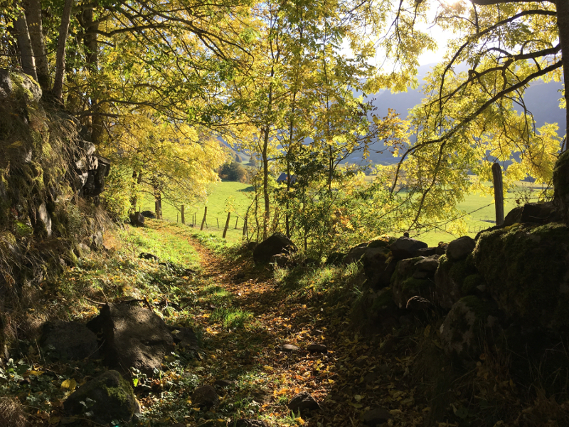
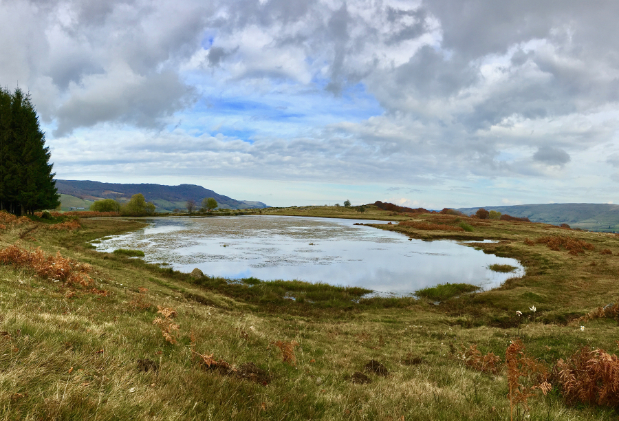
Les Burons
Add to my favorites

Route closed
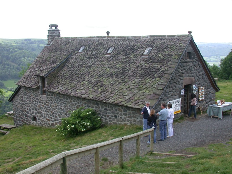
The characteristics of the route.
Le Claux (15)
- Distance 14.3 km
- Elevation gain 570 m
- Elevation lost 570 m
- Min. elevation 1038 m
- Max. elevation. 1455 m
- Duration (depending on pace) 5h
- Marking Green
Sanary20
finished in 02:11:00
The 2021/07/24
En savoir plus
Ajouter votre chrono et partager vos sensations
2021/07/24 02:11:00
Sanary20
Sanary20
2021/07/24 02:11:00
Sanary20
Sanary20
Services nearby

Maison de Site of Le Claux and House of the mountain
Le Claux
Gîte Mme Chambaron
Le Claux
Gîte d'Enchaniers
Le Claux

Camping Municipal d'Enchanier
Le Claux
Meublé-M Laceppe
Le Claux


Follow us on
the digital trails
the digital trails


![]()


OK
Annuler