Show the map
OFFICIAL ROUTE
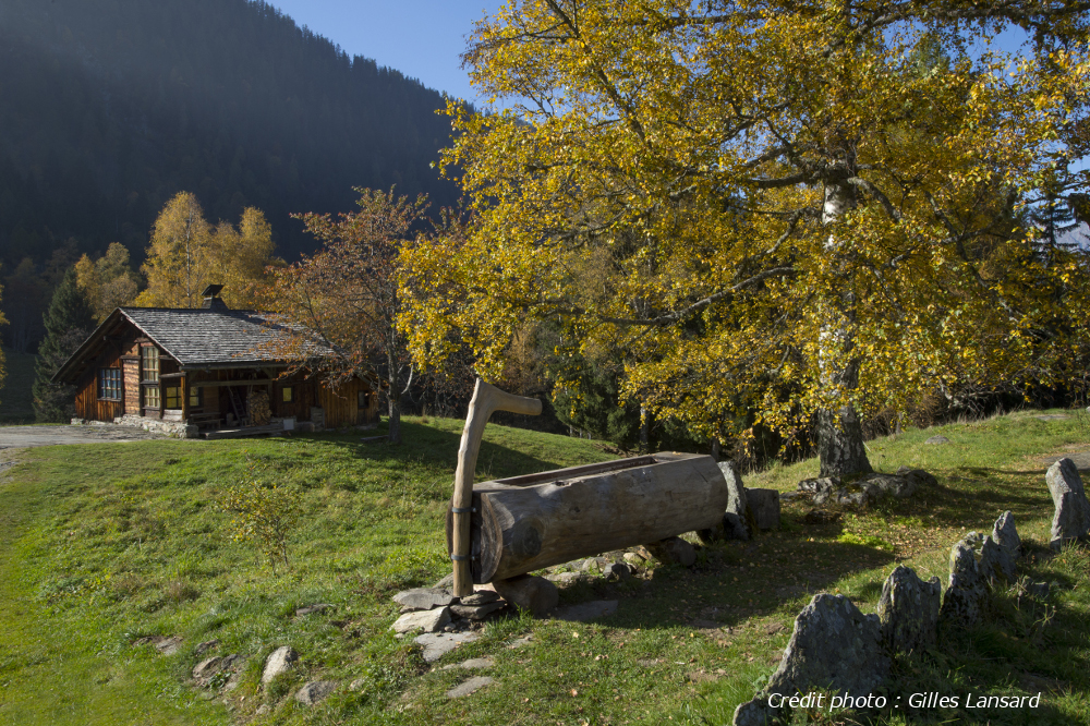
Traversée Servoz - Vaudagne - Les Houches


 Servoz (74)
 Les Houches (74)
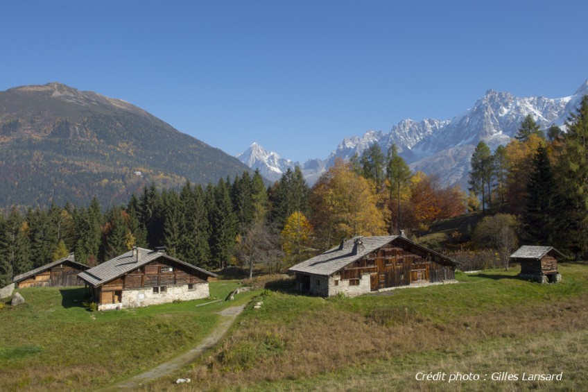
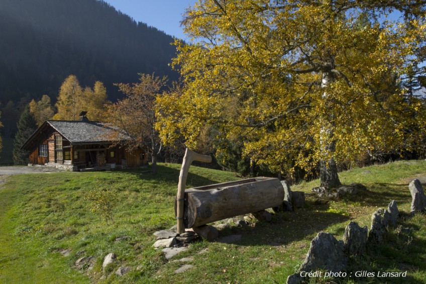
Parcours avec un de?nivele? positif dominant. Le type de chemin est tre?s varie?, plus ou moins large, plus ou moins gras... Les descentes tre?s roulantes et peu techniques en font un parcours ouvert a? tous, pour la de?couverte ou l’entrainement.
Points of Interest table
| Accum. | Intermediary | |||||||
|---|---|---|---|---|---|---|---|---|
| POI | Description | Alt. | Dist. | D+ | D- | Dist. | D+ | D- |
Trace n°773
Ascent threshold : 3 m Distance threshold : 30 m Smoothing : Yes Origin of altitudes : MNT Aster GDEM
Ascent threshold : 3 m Distance threshold : 30 m Smoothing : Yes Origin of altitudes : MNT Aster GDEM
Crossing
Dominant terrain : Footpath
Max alti. : 1200 m
Avg alti. : 1034 m
Min alti. : 800 m
Longest ascent : 361 m
Longest descent : 208 m
Route completed by the author : Yes
Dominant terrain : Footpath
Max alti. : 1200 m
Avg alti. : 1034 m
Min alti. : 800 m
Longest ascent : 361 m
Longest descent : 208 m
Route completed by the author : Yes
Elevation profile
More tools
Create a new roadbook page
Map and track on your website
Warning ! When you insert a Trace de Trail map on your website, you agree not to hide any element of the module (links to Trail Trail or Trail Connect banner)
Add a realisation
Validate
Add a realisation to share your chrono and describe the conditions that you encountered during you trail running !
Add a comment
Validate
Show the infos
Add a track


