Route n°2 - The small lakes
Add to my favorites

Route closed
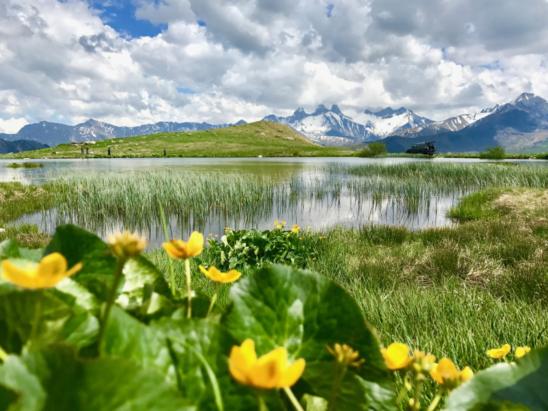
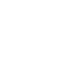
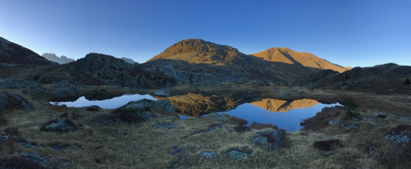
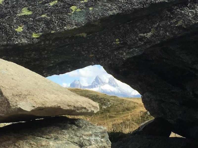
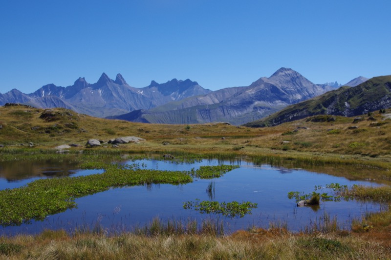
From the Col de la Croix de Fer, this circuit goes around the small lakes of altitude to 2000m. These lakes are popular as a picnic spot. The show is often grandiose when Aiguilles d'Arves and mountain flowers are reflected in the mirror of the water. The route is descending to reach the first lakes Potron and Guichard. Then you go back to Lac Laitelet by crossing the road. In summer you will probably meet marmots and cows. The ascent to the Col is by a single path with a playful profile. After the run take a moment for a landscape reading at the orientation table at the Col.
The characteristics of the route.
Saint-Sorlin-d’Arves (73)
- Distance 3.3 km
- Elevation gain 120 m
- Elevation lost 120 m
- Min. elevation 1977 m
- Max. elevation. 2068 m
- Duration (depending on pace) 0h20 à 0h45
- Marking Trail-running n°2 green
Area : Saint Sorlin d’Arves - Col de la Croix de Fer
Report a problem Add a comment
Pdf map Roadbook route 2
Add your time and share your feelings


![]()
Office de Tourisme La Toussuire
Site web
+33 (0)4 79 83 06 06
Office de Tourisme de l'Espace Glandon (Les Villards)
Site web
+33 (0)4 79 56 24 53


OK
Annuler