The Giffre Loop
Add to my favorites

Route opened
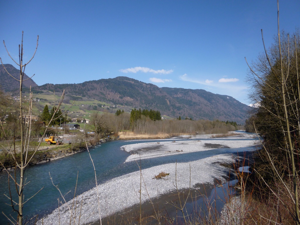
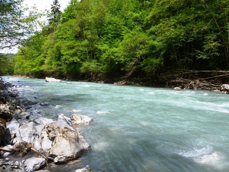
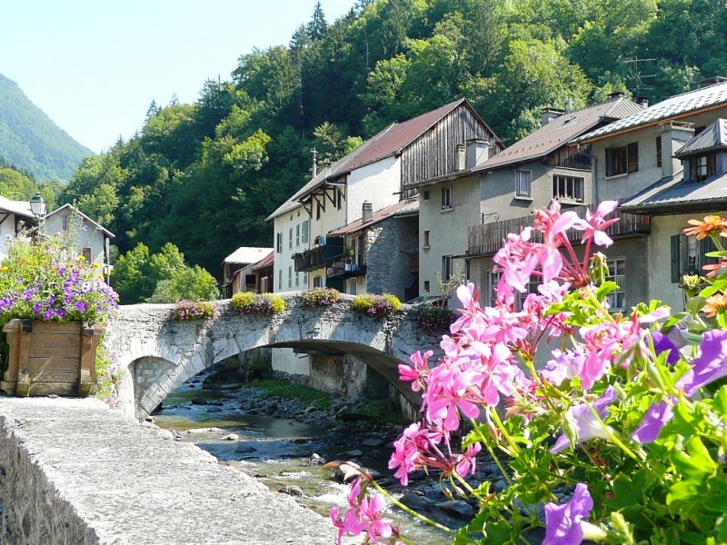
A varied trail between the villages of Taninges and Mieussy, to discover the different aspects of the Giffre Valley: river, forest, villages, etc.
The characteristics of the route.

Taninges (74)
- Distance 19 km
- Elevation gain 611 m
- Elevation lost 610 m
- Min. elevation 586 m
- Max. elevation. 871 m
- Duration (depending on pace) 2h / 4h
- Marking hiking marking signs
Add your time and share your feelings


Follow us on
the digital trails
the digital trails


![]()
Infos & contacts
Praz de Lys Sommand Tourisme
www.prazdelys-sommand.com
04.50.34.25.05
accueil@prazdelys-sommand.com


OK
Annuler