Show the map
OFFICIAL ROUTE
Boucle Vallorcine - Les Mayens - Les Parts


6.46 km
315 m
315 m
 Vallorcine (74)
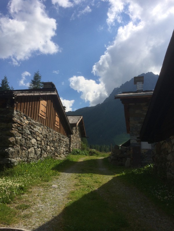
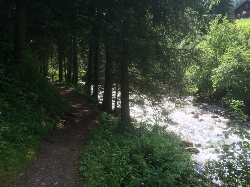
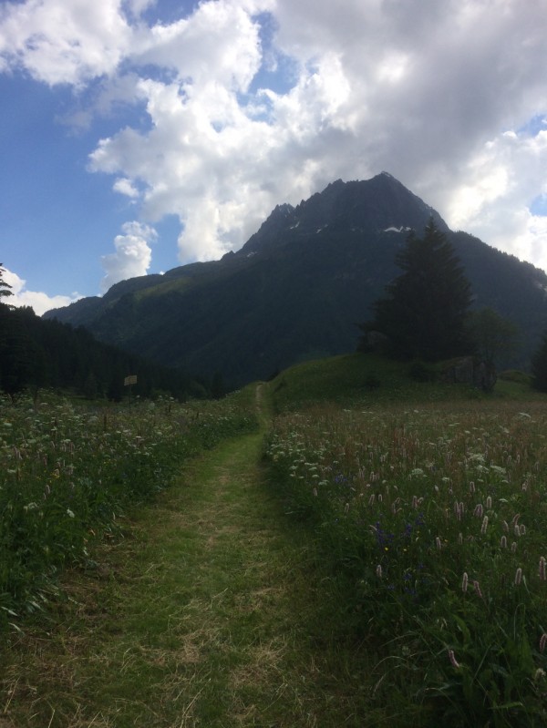
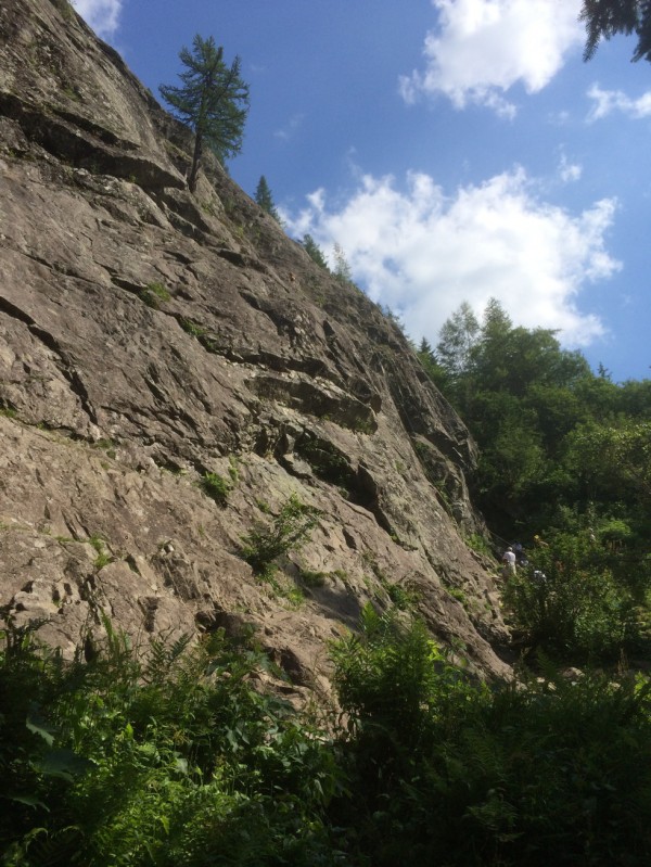
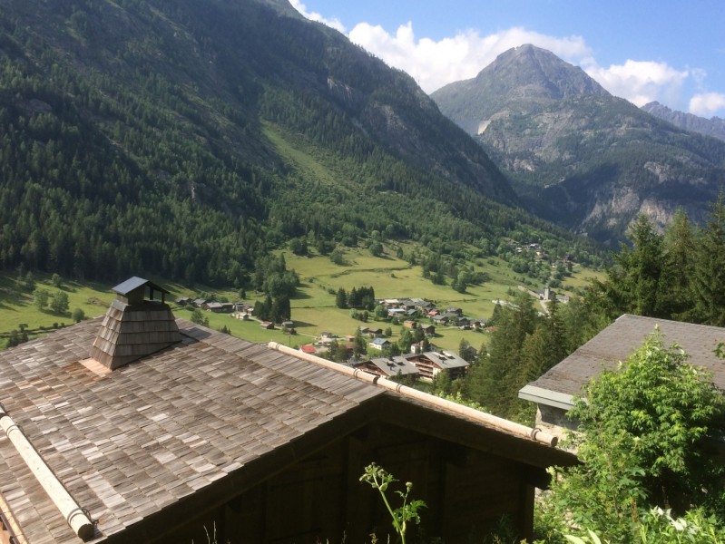
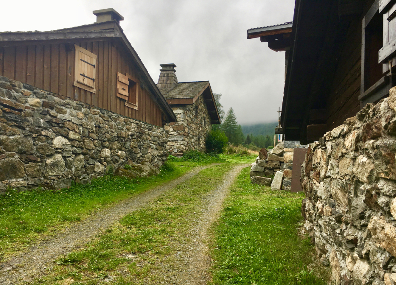
A trail offering a rolling first section followed by a succession of ascents and descents along a high traversing path. This "short" circuit is ideal for training or an introduction to the techniques of trail-running.
Points of Interest table
| Accum. | Intermediary | |||||||
|---|---|---|---|---|---|---|---|---|
| POI | Description | Alt. | Dist. | D+ | D- | Dist. | D+ | D- |
Trace n°684
Ascent threshold : 3 m Distance threshold : 30 m Smoothing : Yes Origin of altitudes : MNT IGN
Ascent threshold : 3 m Distance threshold : 30 m Smoothing : Yes Origin of altitudes : MNT IGN
Loop
Dominant terrain : Footpath
Max alti. : 1473 m
Avg alti. : 1347 m
Min alti. : 1260 m
Longest ascent : 160 m
Longest descent : 220 m
Route completed by the author : Yes
Dominant terrain : Footpath
Max alti. : 1473 m
Avg alti. : 1347 m
Min alti. : 1260 m
Longest ascent : 160 m
Longest descent : 220 m
Route completed by the author : Yes
Elevation profile
More tools
Create a new roadbook page
Map and track on your website
Warning ! When you insert a Trace de Trail map on your website, you agree not to hide any element of the module (links to Trail Trail or Trail Connect banner)
Add a realisation
Validate
Add a comment
Validate
Vallée du Trail
30/05/13, 08:20:54
Le topo détaillé du parcours S - Vallorcine et de tous les autres itinéraires sont téléchargeables sur le site www.valleedutrail.com. Tous les renseignements sur les transports, la météo et la sécurité sont également consultable sur ce lien.
30/05/13, 08:20:54
Le topo détaillé du parcours S - Vallorcine et de tous les autres itinéraires sont téléchargeables sur le site www.valleedutrail.com. Tous les renseignements sur les transports, la météo et la sécurité sont également consultable sur ce lien.
Show the infos
Add a track


